Kyancutta Area, Kyancutta Postcode(5651) & Map in Kyancutta, South Australia - Outback, SA
Kyancutta Area, Kyancutta Postcode(5651) & Map in Kyancutta, South Australia - Outback, SA, AU, Postcode: 5651
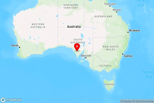
Kyancutta, Le Hunte - Elliston, Eyre Peninsula and South West, South Australia - Outback, South Australia, Australia, 5651
Kyancutta Postcode
Area Name
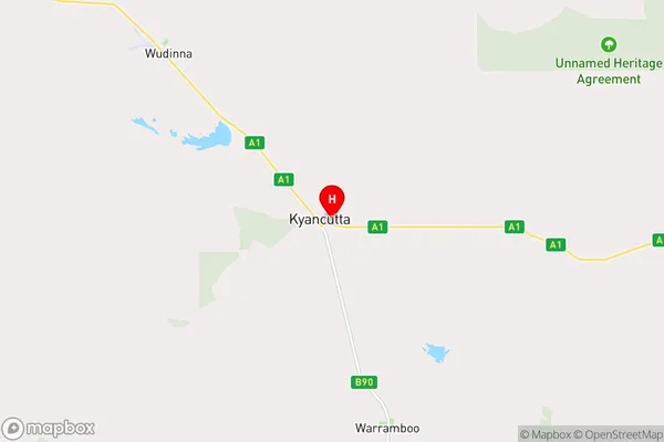
KyancuttaKyancutta Suburb Area Map (Polygon)

Kyancutta Introduction
Kyancutta is a small town in South Australia's Outback, located 500 km north of Adelaide. It is known for its sheep and cattle farming, as well as its proximity to the Flinders Ranges and the Gawler Ranges. The town has a population of around 1,000 people and is a popular destination for tourists looking to experience the Australian Outback.State Name
City or Big Region
District or Regional Area
Suburb Name
Kyancutta Region Map
Country
Main Region in AU
R3Coordinates
-33.1344164,135.5629394 (latitude/longitude)Kyancutta Area Map (Street)
Longitude
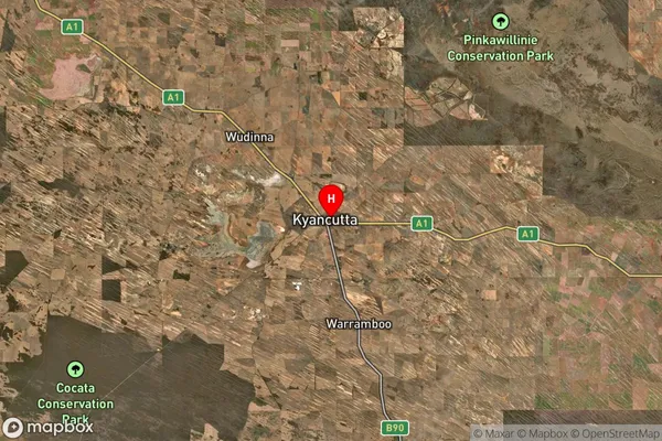
135.528428Latitude
-33.169608Kyancutta Suburb Map (Satellite)
Distances
The distance from Kyancutta, South Australia - Outback, SA to AU Greater Capital CitiesSA1 Code 2011
40601113205SA1 Code 2016
40601113205SA2 Code
406011132SA3 Code
40601SA4 Code
406RA 2011
5RA 2016
5MMM 2015
7MMM 2019
7Charge Zone
S2LGA Region
WudinnaLGA Code
48640Electorate
Grey