Cootra Area, Cootra Postcode(5650) & Map in Cootra, South Australia - Outback, SA
Cootra Area, Cootra Postcode(5650) & Map in Cootra, South Australia - Outback, SA, AU, Postcode: 5650
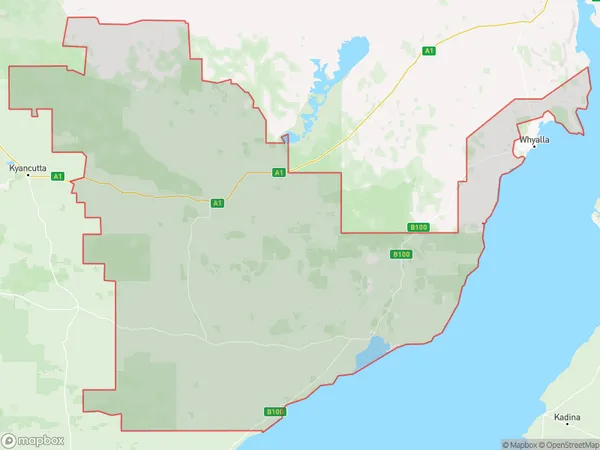
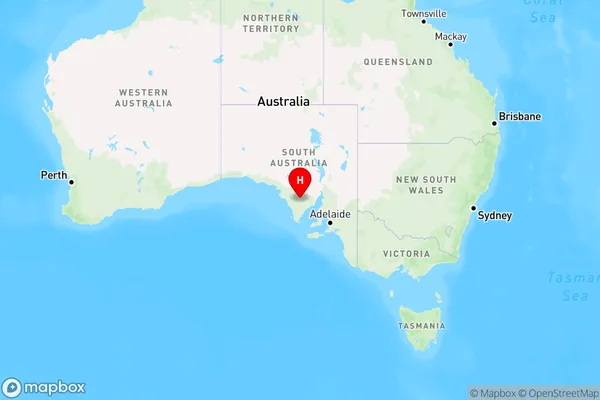
Cootra, Kimba - Cleve - Franklin Harbour, Eyre Peninsula and South West, South Australia - Outback, South Australia, Australia, 5650
Cootra Postcode
Area Name
CootraCootra Suburb Area Map (Polygon)
Cootra Introduction
Cootra is a small town in South Australia's Outback, located on the Eyre Highway. It is known for its historic pub, the Cootra Hotel, and its proximity to the Coober Pedy Opal Fields. The town has a population of around 100 people and is a popular stop for travelers exploring the region.State Name
City or Big Region
District or Regional Area
Suburb Name
Cootra Region Map
Country
Main Region in AU
R3Coordinates
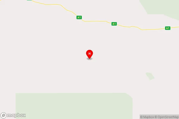
-33.2662537,135.9467527 (latitude/longitude)Cootra Area Map (Street)
Longitude
135.740152Latitude
-33.152294Cootra Elevation
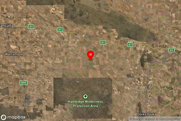
about 94.00 meters height above sea level (Altitude)Cootra Suburb Map (Satellite)
Distances
The distance from Cootra, South Australia - Outback, SA to AU Greater Capital CitiesSA1 Code 2011
40601113101SA1 Code 2016
40601113101SA2 Code
406011131SA3 Code
40601SA4 Code
406RA 2011
4RA 2016
4MMM 2015
6MMM 2019
6Charge Zone
S2LGA Region
KimbaLGA Code
43220Electorate
Grey