Kielpa Area, Kielpa Postcode(5642) & Map in Kielpa, South Australia - Outback, SA
Kielpa Area, Kielpa Postcode(5642) & Map in Kielpa, South Australia - Outback, SA, AU, Postcode: 5642
Kielpa, Kimba - Cleve - Franklin Harbour, Eyre Peninsula and South West, South Australia - Outback, South Australia, Australia, 5642
Kielpa Postcode
Area Name
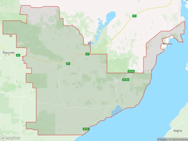
KielpaKielpa Suburb Area Map (Polygon)
Kielpa Introduction
Kielpa is a small town in South Australia, located in the Outback region. It is known for its natural beauty, including the Flinders Ranges and the Simpson Desert. The town has a population of around 1,000 people and is a popular destination for tourists looking to experience the Australian Outback.State Name
City or Big Region
District or Regional Area
Suburb Name
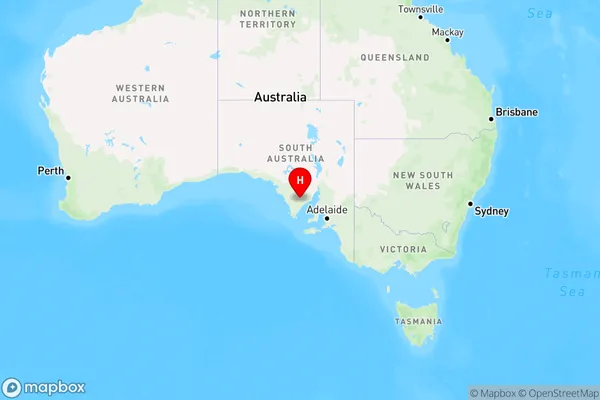
Kielpa Region Map
Country
Main Region in AU
R3Coordinates
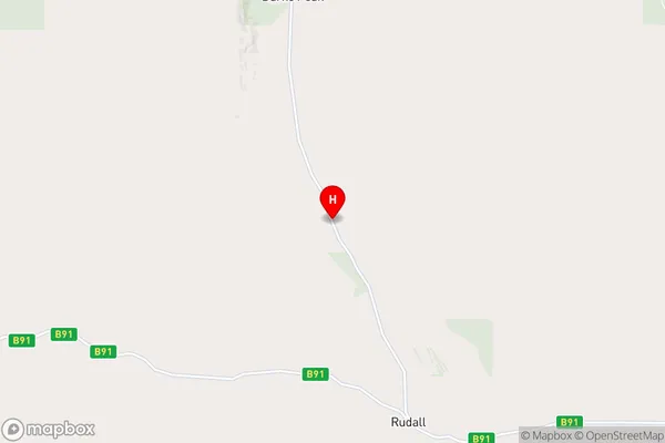
-33.5866404,136.2242306 (latitude/longitude)Kielpa Area Map (Street)
Longitude
136.103172Latitude
-33.558726Kielpa Elevation
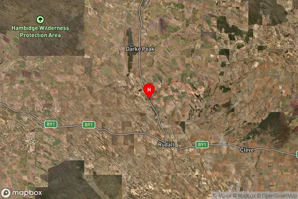
about 127.00 meters height above sea level (Altitude)Kielpa Suburb Map (Satellite)
Distances
The distance from Kielpa, South Australia - Outback, SA to AU Greater Capital CitiesSA1 Code 2011
40601113103SA1 Code 2016
40601113103SA2 Code
406011131SA3 Code
40601SA4 Code
406RA 2011
4RA 2016
4MMM 2015
6MMM 2019
6Charge Zone
S2LGA Region
CleveLGA Code
41190Electorate
Grey