Hambidge Area, Hambidge Postcode(5642) & Map in Hambidge, South Australia - Outback, SA
Hambidge Area, Hambidge Postcode(5642) & Map in Hambidge, South Australia - Outback, SA, AU, Postcode: 5642
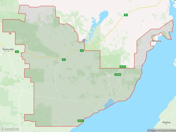
Hambidge, Kimba - Cleve - Franklin Harbour, Eyre Peninsula and South West, South Australia - Outback, South Australia, Australia, 5642
Hambidge Postcode
Area Name
HambidgeHambidge Suburb Area Map (Polygon)
Hambidge Introduction
Hambidge is a small town in South Australia, located in the Outback. It is known for its natural beauty, including the Flinders Ranges and the Flinders Ranges National Park. The town is also home to a number of historical sites, including the Hambidge Homestead and the Hambidge Museum.State Name
City or Big Region
District or Regional Area
Suburb Name
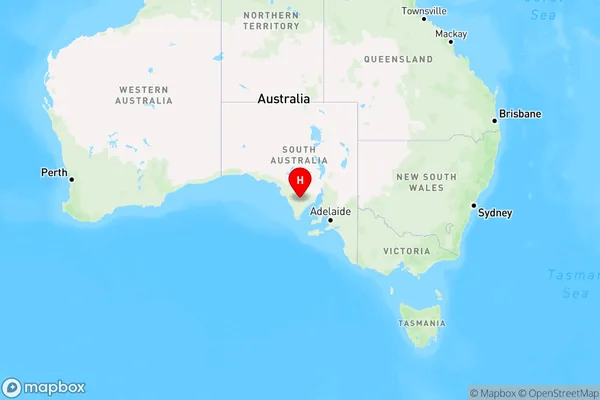
Hambidge Region Map
Country
Main Region in AU
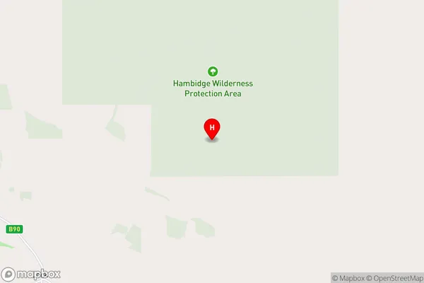
R3Coordinates
-33.4595411,135.9227169 (latitude/longitude)Hambidge Area Map (Street)
Longitude
136.103172Latitude
-33.558726Hambidge Elevation
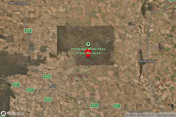
about 127.00 meters height above sea level (Altitude)Hambidge Suburb Map (Satellite)
Distances
The distance from Hambidge, South Australia - Outback, SA to AU Greater Capital CitiesSA1 Code 2011
40601113103SA1 Code 2016
40601113103SA2 Code
406011131SA3 Code
40601SA4 Code
406RA 2011
4RA 2016
4MMM 2015
6MMM 2019
6Charge Zone
S2LGA Region
CleveLGA Code
41190Electorate
Grey