Solomon Area, Solomon Postcode(5641) & Map in Solomon, South Australia - Outback, SA
Solomon Area, Solomon Postcode(5641) & Map in Solomon, South Australia - Outback, SA, AU, Postcode: 5641
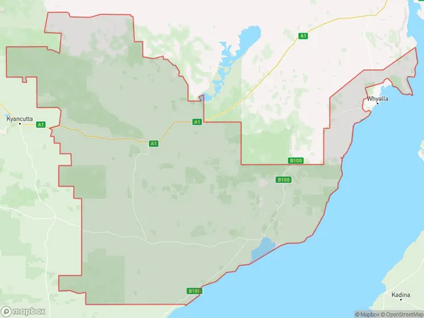
Solomon, Kimba - Cleve - Franklin Harbour, Eyre Peninsula and South West, South Australia - Outback, South Australia, Australia, 5641
Solomon Postcode
Area Name
SolomonSolomon Suburb Area Map (Polygon)
Solomon Introduction
Solomon, South Australia, is a remote outback town in the state's north-east. It is known for its rugged landscapes, including the Flinders Ranges and the Simpson Desert. The town is home to a small population of around 100 people and is a popular destination for tourists seeking a unique and authentic outback experience.State Name
City or Big Region
District or Regional Area
Suburb Name
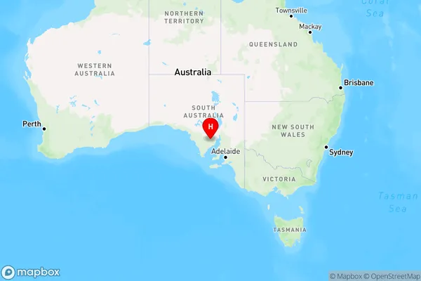
Solomon Region Map
Country
Main Region in AU
R3Coordinates
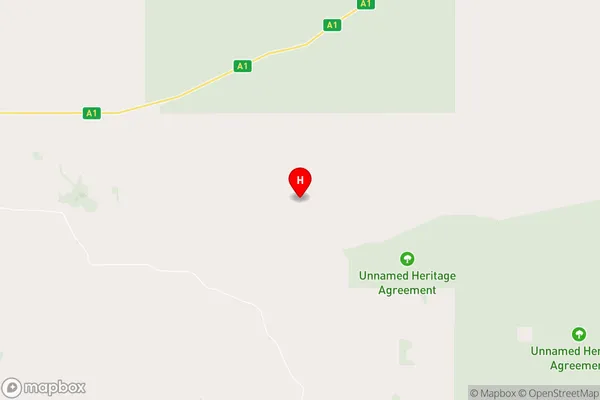
-33.1747084,136.7048377 (latitude/longitude)Solomon Area Map (Street)
Longitude
136.318517Latitude
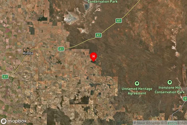
-33.100172Solomon Suburb Map (Satellite)
Distances
The distance from Solomon, South Australia - Outback, SA to AU Greater Capital CitiesSA1 Code 2011
40601113101SA1 Code 2016
40601113101SA2 Code
406011131SA3 Code
40601SA4 Code
406RA 2011
4RA 2016
4MMM 2015
6MMM 2019
6Charge Zone
S2LGA Region
KimbaLGA Code
43220Electorate
Grey