Wards River Area, Wards River Postcode(2422) & Map in Wards River, Mid North Coast, NSW
Wards River Area, Wards River Postcode(2422) & Map in Wards River, Mid North Coast, NSW, AU, Postcode: 2422
Wards River, Bulahdelah - Stroud, Great Lakes, Mid North Coast, New South Wales, Australia, 2422
Wards River Postcode
Area Name
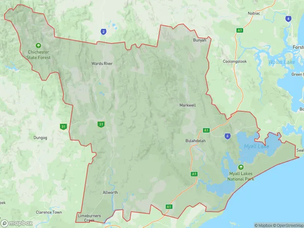
Wards RiverWards River Suburb Area Map (Polygon)

Wards River Introduction
Wards River is a river located in the Mid North Coast region of New South Wales, Australia. It is a tributary of the Macleay River and flows into the Pacific Ocean. The river is approximately 165 kilometers long and has a catchment area of approximately 1,200 square kilometers. The river is known for its scenic beauty, with a range of forests, waterfalls, and riverside walks. It is also home to a variety of wildlife, including fish, birds, and mammals. The river has been used for irrigation and water supply for many years, and there are several hydroelectric power stations along its course.State Name
City or Big Region
District or Regional Area
Suburb Name
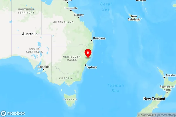
Wards River Region Map

Country
Main Region in AU
R3Coordinates
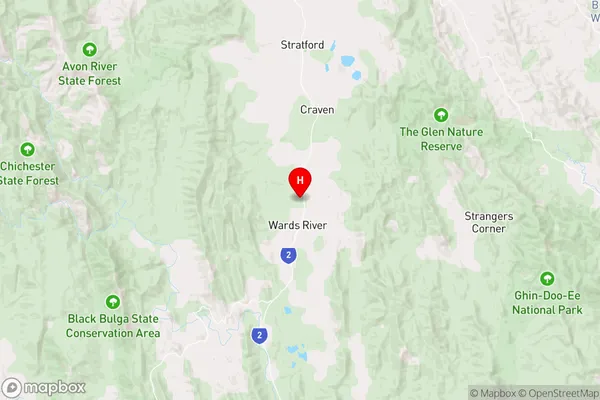
-32.2078852,151.9367506 (latitude/longitude)Wards River Area Map (Street)

Longitude
151.865806Latitude
-31.973082Wards River Elevation
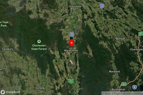
about 170.94 meters height above sea level (Altitude)Wards River Suburb Map (Satellite)

Distances
The distance from Wards River, Mid North Coast, NSW to AU Greater Capital CitiesSA1 Code 2011
10801115102SA1 Code 2016
10801115102SA2 Code
108011151SA3 Code
10801SA4 Code
108RA 2011
3RA 2016
3MMM 2015
5MMM 2019
5Charge Zone
N2LGA Region
Mid-CoastLGA Code
15240Electorate
Lyne