Grosvenor Place Area, Grosvenor Place Postcode(1220) & Map in Grosvenor Place, Newcastle and Lake Macquarie, NSW
Grosvenor Place Area, Grosvenor Place Postcode(1220) & Map in Grosvenor Place, Newcastle and Lake Macquarie, NSW, AU, Postcode: 1220
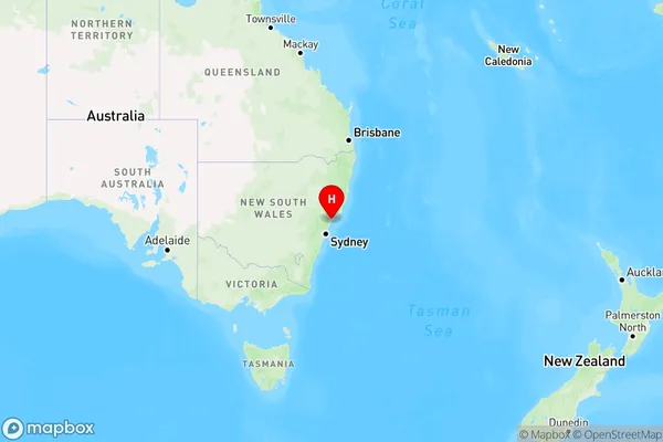
Grosvenor Place, Valentine - Eleebana, Lake Macquarie - East, Newcastle and Lake Macquarie, New South Wales, Australia, 1220
Grosvenor Place Postcode
Area Name
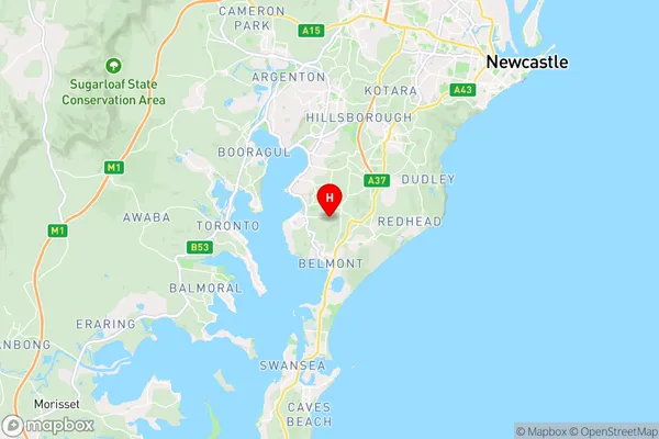
Grosvenor PlaceGrosvenor Place Suburb Area Map (Polygon)

Grosvenor Place Introduction
Grosvenor Place is a heritage-listed site in Newcastle and Lake Macquarie, NSW, AU. It is a significant example of 19th-century architecture and urban planning. The place is important in demonstrating the cultural and social history of Newcastle and its region. It is also important in demonstrating the technological and scientific developments of the period, particularly in the area of transportation and communication.State Name
City or Big Region
District or Regional Area
Suburb Name
Grosvenor Place Region Map

Country
Main Region in AU
R1Coordinates
-33.0100063,151.6579131 (latitude/longitude)Grosvenor Place Area Map (Street)

Longitude
151.034025Latitude
-33.741311Grosvenor Place Elevation
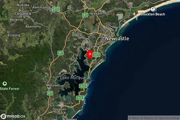
about 135.83 meters height above sea level (Altitude)Grosvenor Place Suburb Map (Satellite)

Distances
The distance from Grosvenor Place, Newcastle and Lake Macquarie, NSW to AU Greater Capital CitiesSA1 Code 2011
11101121318SA1 Code 2016
11101121318SA2 Code
111011213SA3 Code
11101SA4 Code
111RA 2011
1RA 2016
1MMM 2015
1MMM 2019
1Charge Zone
N1LGA Region
ParramattaLGA Code
16260Electorate
Sydney