Jabiru Area, Jabiru Postcode(0886) & Map in Jabiru, Northern Territory - Outback, NT
Jabiru Area, Jabiru Postcode(0886) & Map in Jabiru, Northern Territory - Outback, NT, AU, Postcode: 0886
Jabiru, Alligator, Daly - Tiwi - West Arnhem, Northern Territory - Outback, Northern Territory, Australia, 0886
Jabiru Postcode
Area Name
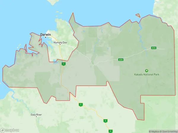
JabiruJabiru Suburb Area Map (Polygon)

Jabiru Introduction
Jabiru is a small town in the Northern Territory, Australia, located on the banks of the Jabiru River. It is a popular stopover for tourists traveling to Kakadu National Park and the Northern Territory's other natural attractions. The town has a population of around 1,000 people and offers a range of accommodation, including hotels, resorts, and camping grounds. Jabiru is also home to a number of cultural and historical sites, including the Jabiru Aboriginal Community and the Jabiru Museum.State Name
City or Big Region
District or Regional Area
Suburb Name
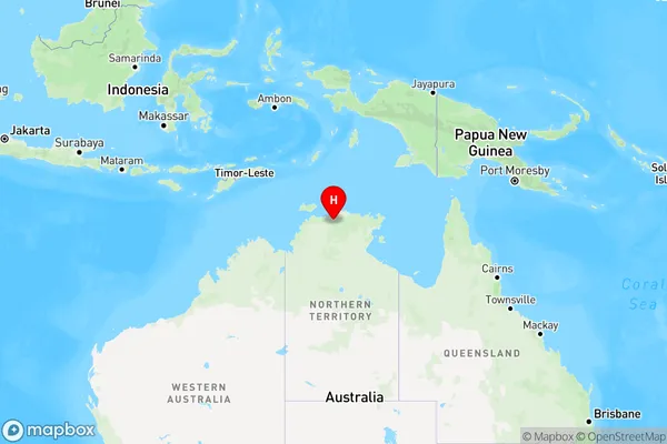
Jabiru Region Map

Country
Main Region in AU
R1Coordinates
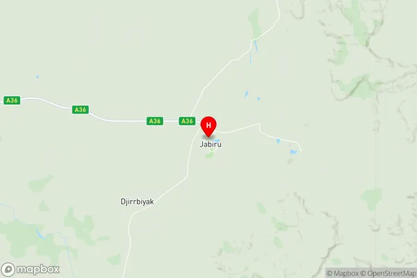
-12.6688351,132.8345405 (latitude/longitude)Jabiru Area Map (Street)

Longitude
132.563373Latitude
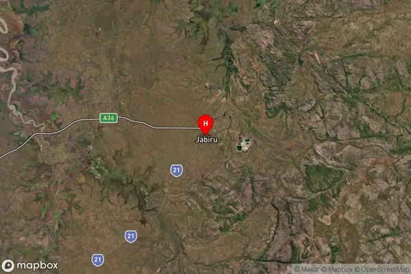
-13.13118Jabiru Suburb Map (Satellite)

Distances
The distance from Jabiru, Northern Territory - Outback, NT to AU Greater Capital CitiesSA1 Code 2011
70203105712SA1 Code 2016
70203105712SA2 Code
702031057SA3 Code
70203SA4 Code
702RA 2011
4RA 2016
4MMM 2015
6MMM 2019
6Charge Zone
NT1LGA Region
West ArnhemLGA Code
74660Electorate
Lingiari