Cremorne Junction Area, Cremorne Junction Postcode(2090) & Map in Cremorne Junction, Sydney - North Sydney and Hornsby, NSW
Cremorne Junction Area, Cremorne Junction Postcode(2090) & Map in Cremorne Junction, Sydney - North Sydney and Hornsby, NSW, AU, Postcode: 2090
Cremorne Junction, Cremorne - Cammeray, North Sydney - Mosman, Sydney - North Sydney and Hornsby, New South Wales, Australia, 2090
Cremorne Junction Postcode
Area Name
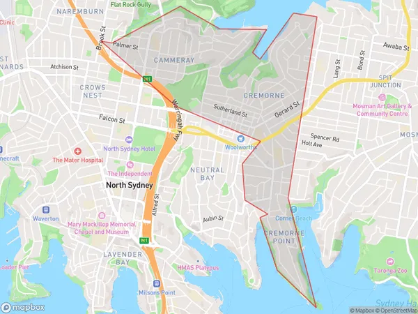
Cremorne JunctionCremorne Junction Suburb Area Map (Polygon)

Cremorne Junction Introduction
Cremorne Junction is a railway and bus interchange located in the Sydney suburb of Cremorne. It is served by Sydney Trains T2 Inner West & South line and various bus services from the State Transit Authority. The station is located on the corner of Military Road and Victoria Road and is within walking distance of the Cremorne Point Wharf and the Sydney Harbour Bridge.State Name
City or Big Region
District or Regional Area
Suburb Name
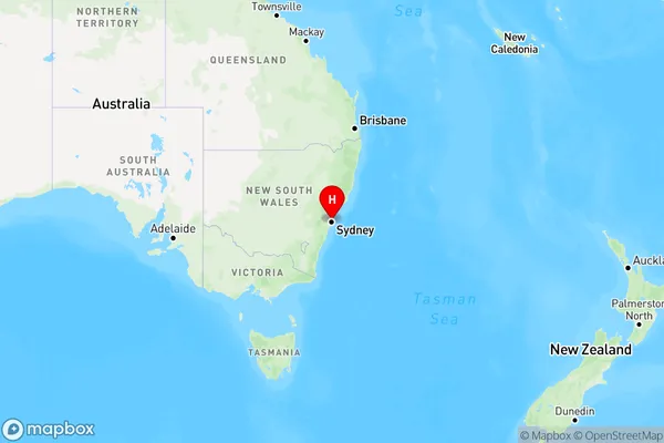
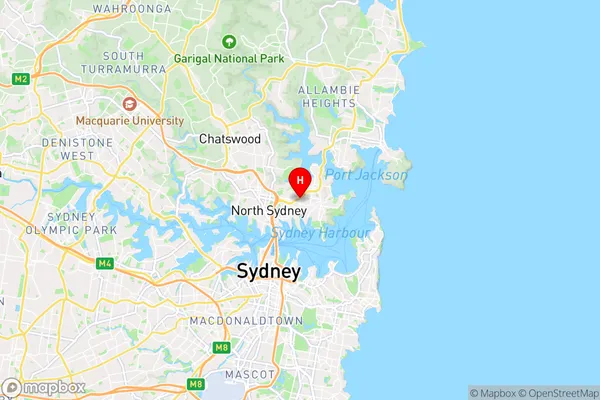
Cremorne Junction Region Map

Country
Main Region in AU
R1Coordinates
-33.829394,151.229841 (latitude/longitude)Cremorne Junction Area Map (Street)

Longitude
151.223094Latitude
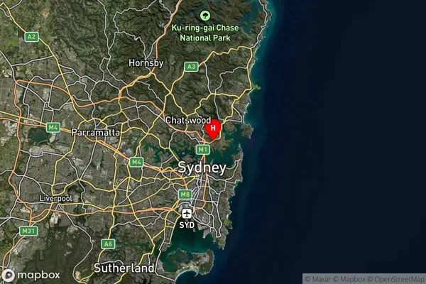
-33.828949Cremorne Junction Suburb Map (Satellite)

Distances
The distance from Cremorne Junction, Sydney - North Sydney and Hornsby, NSW to AU Greater Capital CitiesSA1 Code 2011
12104141338SA1 Code 2016
12104141338SA2 Code
121041413SA3 Code
12104SA4 Code
121RA 2011
1RA 2016
1MMM 2015
1MMM 2019
1Charge Zone
N1LGA Region
North SydneyLGA Code
15950Electorate
Warringah