Spit Junction Area, Spit Junction Postcode(2088) & Map in Spit Junction, Sydney - North Sydney and Hornsby, NSW
Spit Junction Area, Spit Junction Postcode(2088) & Map in Spit Junction, Sydney - North Sydney and Hornsby, NSW, AU, Postcode: 2088
Spit Junction, Mosman, North Sydney - Mosman, Sydney - North Sydney and Hornsby, New South Wales, Australia, 2088
Spit Junction Postcode
Area Name
Spit JunctionSpit Junction Suburb Area Map (Polygon)

Spit Junction Introduction
Spit Junction is a major transport hub in Sydney, connecting the North Shore, Sydney Harbour and the Northern Suburbs. It is located at the intersection of the Pacific Highway and the Spit Road, and is served by several bus and train services. The area is undergoing significant development, with plans for new housing and commercial buildings.State Name
City or Big Region
District or Regional Area
Suburb Name
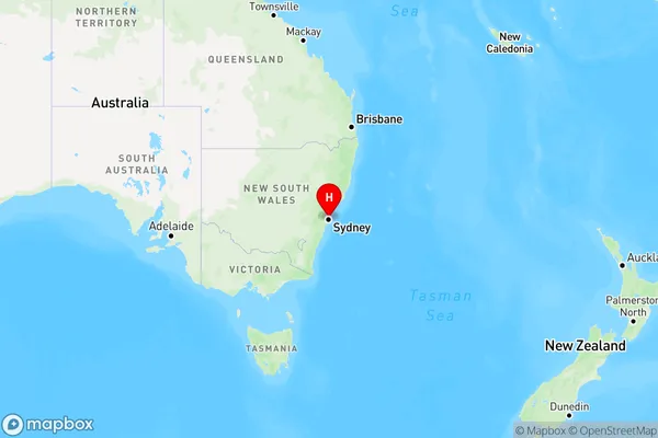
Spit Junction Region Map

Country
Main Region in AU
R1Coordinates
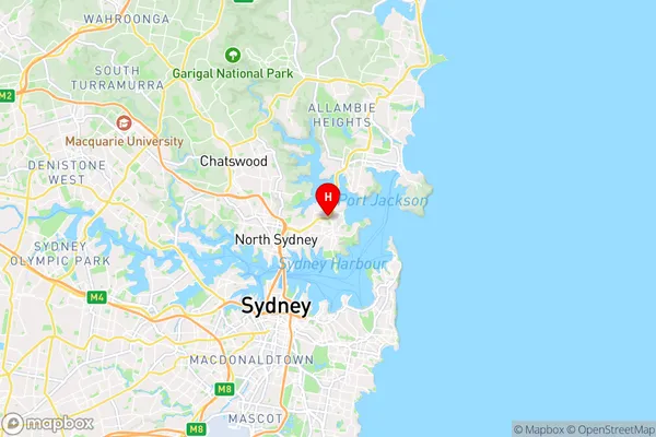
-33.8244677,151.2409774 (latitude/longitude)Spit Junction Area Map (Street)

Longitude
151.243351Latitude
-33.830687Spit Junction Elevation
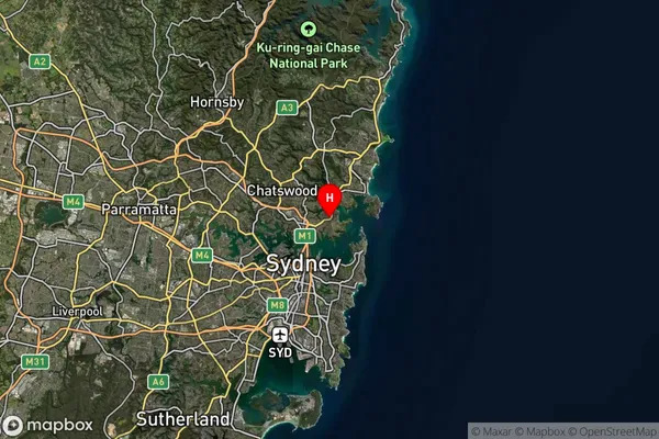
about 80.14 meters height above sea level (Altitude)Spit Junction Suburb Map (Satellite)

Distances
The distance from Spit Junction, Sydney - North Sydney and Hornsby, NSW to AU Greater Capital CitiesSA1 Code 2011
12104141524SA1 Code 2016
12104141524SA2 Code
121041415SA3 Code
12104SA4 Code
121RA 2011
1RA 2016
1MMM 2015
1MMM 2019
1Charge Zone
N1LGA Region
MosmanLGA Code
15350Electorate
Warringah