Dangar Island Area, Dangar Island Postcode(2083) & Map in Dangar Island, Sydney - North Sydney and Hornsby, NSW
Dangar Island Area, Dangar Island Postcode(2083) & Map in Dangar Island, Sydney - North Sydney and Hornsby, NSW, AU, Postcode: 2083
Dangar Island, Berowra - Brooklyn - Cowan, Hornsby, Sydney - North Sydney and Hornsby, New South Wales, Australia, 2083
Dangar Island Postcode
Area Name
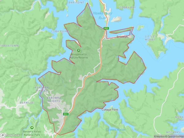
Dangar IslandDangar Island Suburb Area Map (Polygon)

Dangar Island Introduction
Dangar Island is a small island located in the Parramatta River, in the northern suburbs of Sydney, Australia. It is home to a large marina and is a popular recreational spot for boating and fishing. The island also has a number of historic buildings, including a former prison and a military base. Dangar Island is accessible by ferry from Circular Quay or North Sydney.State Name
City or Big Region
District or Regional Area
Suburb Name
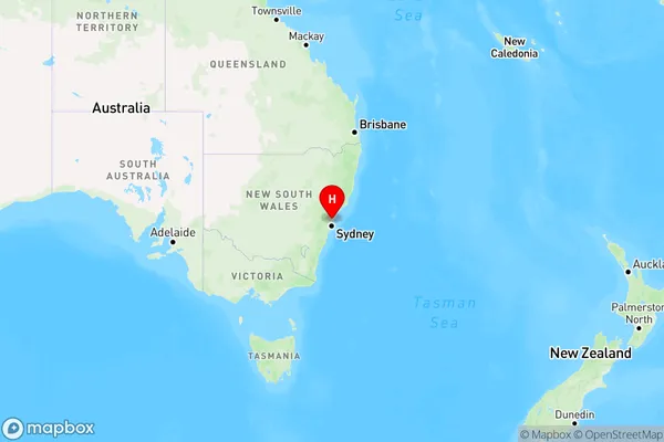
Dangar Island Region Map

Country
Main Region in AU
R1Coordinates
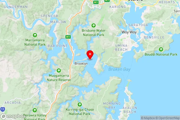
-33.54142,151.2381 (latitude/longitude)Dangar Island Area Map (Street)

Longitude
151.194452Latitude
-33.525322Dangar Island Elevation
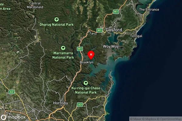
about 1.67 meters height above sea level (Altitude)Dangar Island Suburb Map (Satellite)

Distances
The distance from Dangar Island, Sydney - North Sydney and Hornsby, NSW to AU Greater Capital CitiesSA1 Code 2011
12102140432SA1 Code 2016
12102140432SA2 Code
121021404SA3 Code
12102SA4 Code
121RA 2011
2RA 2016
2MMM 2015
5MMM 2019
6Charge Zone
N1LGA Region
HornsbyLGA Code
14000Electorate
Robertson