Hornsby Heights Area, Hornsby Heights Postcode(2077) & Map in Hornsby Heights, Sydney - North Sydney and Hornsby, NSW
Hornsby Heights Area, Hornsby Heights Postcode(2077) & Map in Hornsby Heights, Sydney - North Sydney and Hornsby, NSW, AU, Postcode: 2077
Hornsby Heights, Asquith - Mount Colah, Hornsby, Sydney - North Sydney and Hornsby, New South Wales, Australia, 2077
Hornsby Heights Postcode
Area Name
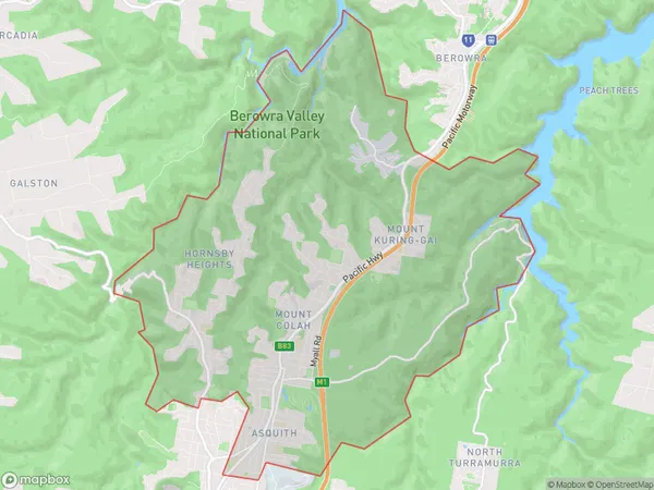
Hornsby HeightsHornsby Heights Suburb Area Map (Polygon)

Hornsby Heights Introduction
Hornsby Heights is a suburb in Sydney's North Shore, located between North Sydney and Hornsby. It is known for its leafy streets, well-maintained homes, and convenient location, with easy access to the city and surrounding areas. The suburb has a variety of shops, cafes, and restaurants, as well as a community center and park. It is also home to several prestigious schools, including Hornsby Girls High School and Hornsby North Public School.State Name
City or Big Region
District or Regional Area
Suburb Name
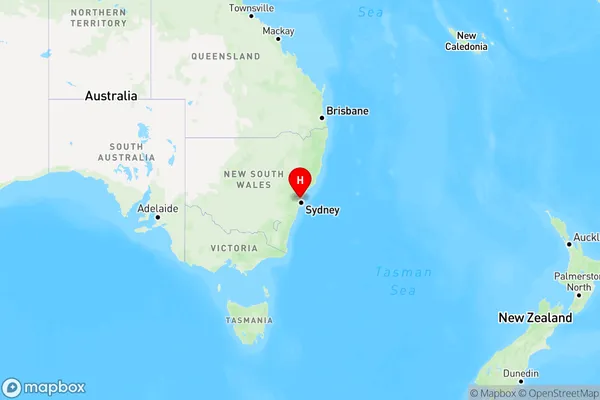
Hornsby Heights Region Map

Country
Main Region in AU
R1Coordinates
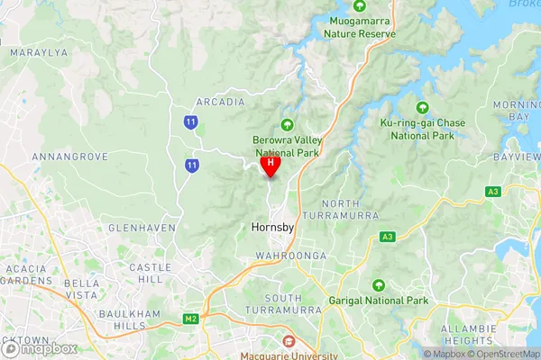
-33.6722,151.0988 (latitude/longitude)Hornsby Heights Area Map (Street)

Longitude
151.097508Latitude
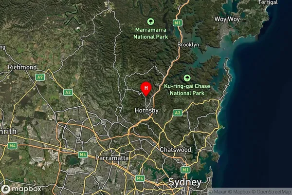
-33.691922Hornsby Heights Suburb Map (Satellite)

Distances
The distance from Hornsby Heights, Sydney - North Sydney and Hornsby, NSW to AU Greater Capital CitiesSA1 Code 2011
12102140302SA1 Code 2016
12102140302SA2 Code
121021403SA3 Code
12102SA4 Code
121RA 2011
1RA 2016
1MMM 2015
1MMM 2019
1Charge Zone
N1LGA Region
Ku-ring-gaiLGA Code
14500Electorate
Bradfield