Milsons Point Area, Milsons Point Postcode(2061) & Map in Milsons Point, Sydney - North Sydney and Hornsby, NSW
Milsons Point Area, Milsons Point Postcode(2061) & Map in Milsons Point, Sydney - North Sydney and Hornsby, NSW, AU, Postcode: 2061
Milsons Point, North Sydney - Lavender Bay, North Sydney - Mosman, Sydney - North Sydney and Hornsby, New South Wales, Australia, 2061
Milsons Point Postcode
Area Name
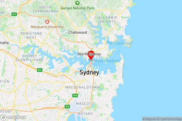
Milsons PointMilsons Point Suburb Area Map (Polygon)

Milsons Point Introduction
Milsons Point is a historic suburb of Sydney located on the lower North Shore, known for its stunning harbor views, vibrant cultural scene, and picturesque walking trails. It is situated between the iconic Sydney Harbour Bridge and the bustling city center, offering a peaceful escape from the hustle and bustle. The area is home to a diverse community with a rich history, including the former home of author and poet Arthur Phillip. Milsons Point is also a popular destination for tourists, with numerous cafes, restaurants, and boutique stores lining the streets.State Name
City or Big Region
District or Regional Area
Suburb Name
Milsons Point Region Map

Country
Main Region in AU
R1Coordinates
-33.84765,151.21201 (latitude/longitude)Milsons Point Area Map (Street)
Longitude
151.212372Latitude
-33.848785Milsons Point Elevation
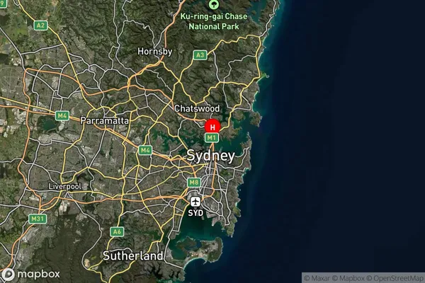
about 19.26 meters height above sea level (Altitude)Milsons Point Suburb Map (Satellite)
Distances
The distance from Milsons Point, Sydney - North Sydney and Hornsby, NSW to AU Greater Capital CitiesSA1 Code 2011
12104141723SA1 Code 2016
12104141723SA2 Code
121041417SA3 Code
12104SA4 Code
121RA 2011
1RA 2016
1MMM 2015
1MMM 2019
1Charge Zone
N1LGA Region
North SydneyLGA Code
15950Electorate
Warringah