Grogan Area, Grogan Postcode(2666) & Map in Grogan, Riverina, NSW
Grogan Area, Grogan Postcode(2666) & Map in Grogan, Riverina, NSW, AU, Postcode: 2666
Grogan, Temora, Wagga Wagga, Riverina, New South Wales, Australia, 2666
Grogan Postcode
Area Name
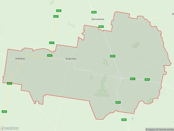
GroganGrogan Suburb Area Map (Polygon)

Grogan Introduction
Grogan is a small township in the Riverina region of New South Wales, Australia. It is located on the Cobb Highway and is surrounded by farmland. The town has a post office, a general store, and a community hall. The nearby Lake Cargelligo is a popular recreational spot for fishing and swimming.State Name
City or Big Region
District or Regional Area
Suburb Name
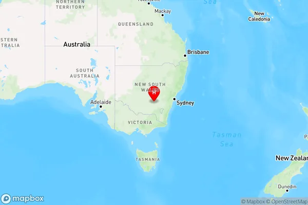
Grogan Region Map

Country
Main Region in AU
R3Coordinates
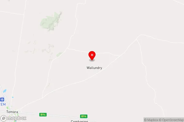
-34.3523653,147.7126362 (latitude/longitude)Grogan Area Map (Street)

Longitude
147.583811Latitude
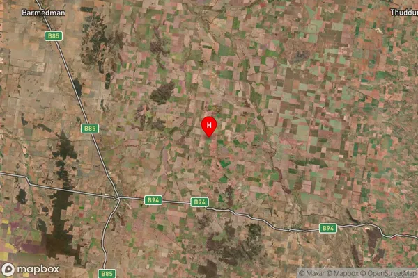
-34.487779Grogan Suburb Map (Satellite)

Distances
The distance from Grogan, Riverina, NSW to AU Greater Capital CitiesSA1 Code 2011
11303126618SA1 Code 2016
11303126618SA2 Code
113031266SA3 Code
11303SA4 Code
113RA 2011
3RA 2016
3MMM 2015
5MMM 2019
5Charge Zone
N2LGA Region
TemoraLGA Code
17350Electorate
Riverina