Batchelor Area, Batchelor Postcode(0845) & Map in Batchelor, Northern Territory - Outback, NT
Batchelor Area, Batchelor Postcode(0845) & Map in Batchelor, Northern Territory - Outback, NT, AU, Postcode: 0845
Batchelor, Alligator, Daly - Tiwi - West Arnhem, Northern Territory - Outback, Northern Territory, Australia, 0845
Batchelor Postcode
Area Name
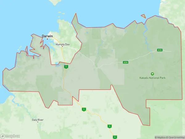
BatchelorBatchelor Suburb Area Map (Polygon)

Batchelor Introduction
Batchelor is a locality in the Northern Territory of Australia. It is located about 125 miles southwest of the territory capital of Darwin. Batchelor is a small rural community with a population of around 100 people. The town is located in the Mary River region and is surrounded by beautiful scenery, including the Mary River National Park. The town has a primary school, a post office, a general store, and a community hall. The nearest major town is Katherine, which is located about 125 miles to the northeast.State Name
City or Big Region
District or Regional Area
Suburb Name
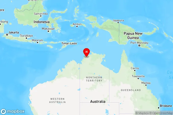
Batchelor Region Map

Country
Main Region in AU
R1Coordinates
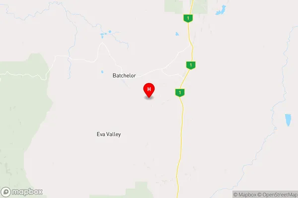
-13.0785018,131.0625213 (latitude/longitude)Batchelor Area Map (Street)

Longitude
131.038475Latitude
-13.045118Batchelor Elevation
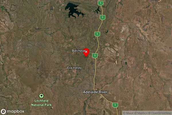
about 122.88 meters height above sea level (Altitude)Batchelor Suburb Map (Satellite)

Distances
The distance from Batchelor, Northern Territory - Outback, NT to AU Greater Capital CitiesSA1 Code 2011
70203105711SA1 Code 2016
70203105711SA2 Code
702031057SA3 Code
70203SA4 Code
702RA 2011
4RA 2016
4MMM 2015
6MMM 2019
6Charge Zone
NT1LGA Region
CoomalieLGA Code
70700Electorate
Lingiari