Dundee Forest Area, Dundee Forest Postcode(0840) & Map in Dundee Forest, Northern Territory - Outback, NT
Dundee Forest Area, Dundee Forest Postcode(0840) & Map in Dundee Forest, Northern Territory - Outback, NT, AU, Postcode: 0840
Dundee Forest, Alligator, Daly - Tiwi - West Arnhem, Northern Territory - Outback, Northern Territory, Australia, 0840
Dundee Forest Postcode
Area Name
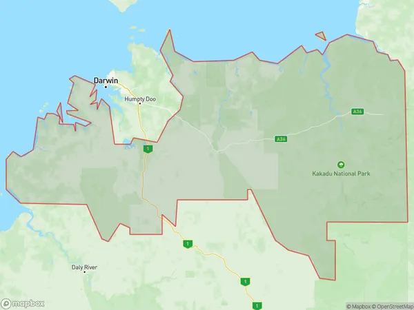
Dundee ForestDundee Forest Suburb Area Map (Polygon)

Dundee Forest Introduction
Dundee Forest is a remote forest in the Northern Territory, Australia, located in the Northern Territory's Gulf Country region. It is one of the largest forests in Australia, covering an area of 1,300 square miles. The forest is home to a variety of plant and animal species, including kangaroos, wallabies, and birds. The forest is also a popular destination for tourists, who can enjoy hiking, camping, and fishing in the area.State Name
City or Big Region
District or Regional Area
Suburb Name
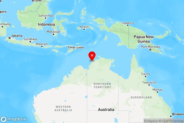
Dundee Forest Region Map

Country
Main Region in AU
R1Coordinates
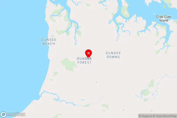
-12.8042078,130.4484499 (latitude/longitude)Dundee Forest Area Map (Street)

Longitude
130.4518371Latitude
-12.71366907Dundee Forest Elevation
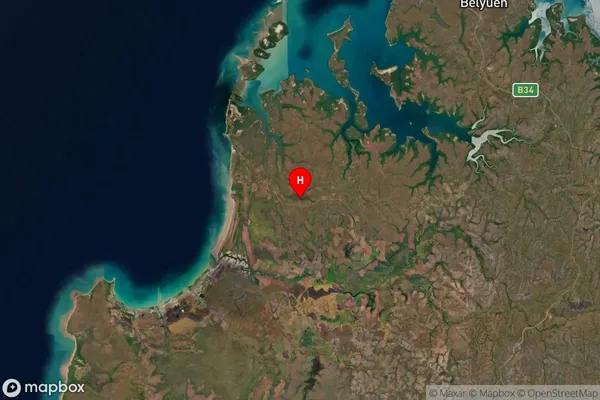
about 8.12 meters height above sea level (Altitude)Dundee Forest Suburb Map (Satellite)

Distances
The distance from Dundee Forest, Northern Territory - Outback, NT to AU Greater Capital CitiesSA1 Code 2011
70203105708SA1 Code 2016
70203105708SA2 Code
702031057SA3 Code
70203SA4 Code
702RA 2011
4RA 2016
4MMM 2015
6MMM 2019
6Charge Zone
NT1LGA Region
BelyuenLGA Code
70540Electorate
Lingiari