Dangar Area, Dangar Postcode(2309) & Map in Dangar, Sydney - North Sydney and Hornsby, NSW
Dangar Area, Dangar Postcode(2309) & Map in Dangar, Sydney - North Sydney and Hornsby, NSW, AU, Postcode: 2309
Dangar, Berowra - Brooklyn - Cowan, Hornsby, Sydney - North Sydney and Hornsby, New South Wales, Australia, 2309
Dangar Postcode
Area Name
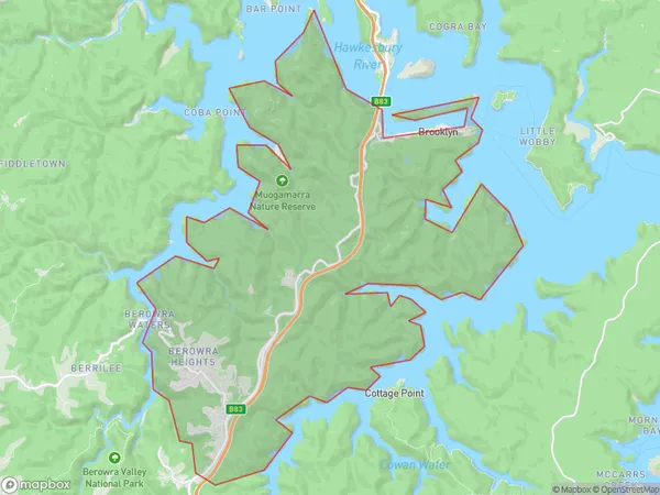
DangarDangar Suburb Area Map (Polygon)

Dangar Introduction
Dangar is a heritage-listed site located at 188 Macquarie Street, North Sydney, New South Wales, Australia. It is a former aircraft maintenance and storage hangar built for the Royal Australian Air Force (RAAF) in 1939. The hangar is significant as it represents the technological and strategic importance of aviation during World War II and the post-war period. It is now used as a cultural and community space, hosting events, exhibitions, and workshops. The site also includes a museum and a collection of aircraft and aviation memorabilia.State Name
City or Big Region
District or Regional Area
Suburb Name
Dangar Region Map

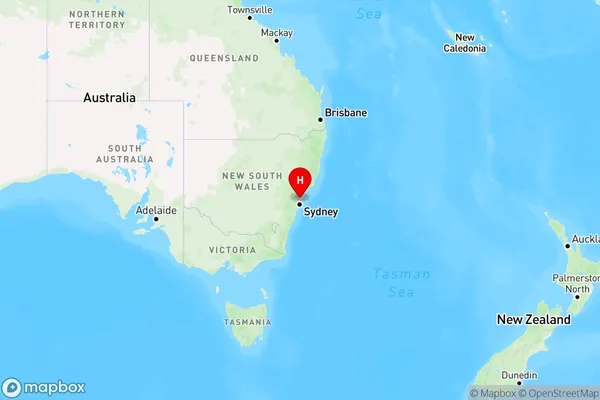
Country
Main Region in AU
R1Coordinates
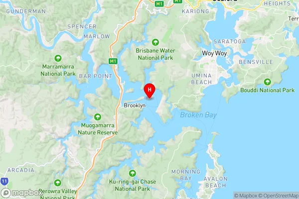
-33.54142,151.2381 (latitude/longitude)Dangar Area Map (Street)

Longitude
148.890775Latitude
-30.352158Dangar Elevation
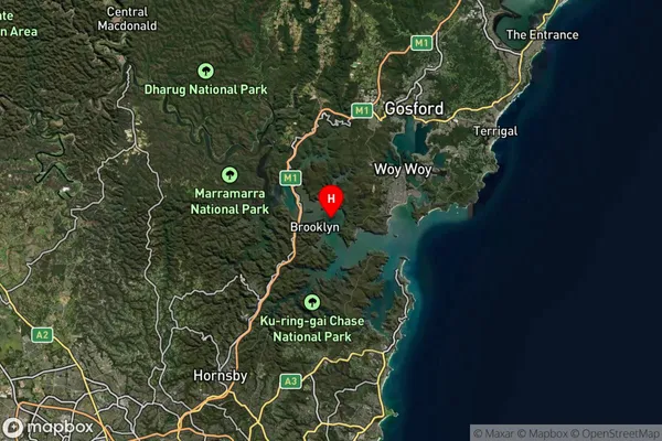
about 162.12 meters height above sea level (Altitude)Dangar Suburb Map (Satellite)

Distances
The distance from Dangar, Sydney - North Sydney and Hornsby, NSW to AU Greater Capital CitiesSA1 Code 2011
12102140432SA1 Code 2016
12102140432SA2 Code
121021404SA3 Code
12102SA4 Code
121RA 2011
2RA 2016
2MMM 2015
5MMM 2019
6Charge Zone
N2LGA Region
NarrabriLGA Code
15750Electorate
Lyne