Daly River Area, Daly River Postcode(0822) & Map in Daly River, Northern Territory - Outback, NT
Daly River Area, Daly River Postcode(0822) & Map in Daly River, Northern Territory - Outback, NT, AU, Postcode: 0822
Daly River, Daly, Daly - Tiwi - West Arnhem, Northern Territory - Outback, Northern Territory, Australia, 0822
Daly River Postcode
Area Name
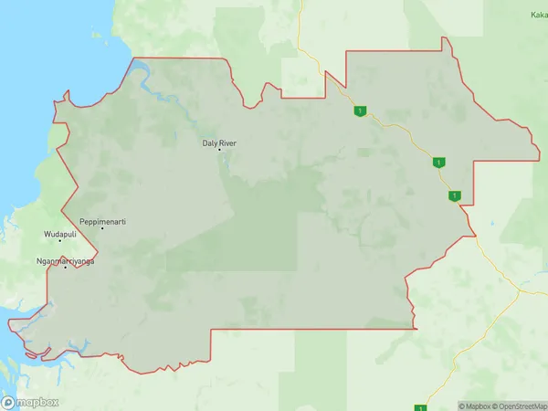
Daly RiverDaly River Suburb Area Map (Polygon)
Daly River Introduction
The Daly River is located in the Northern Territory of Australia. It is a major river system in the Northern Territory, flowing from the Timor Mountains to the Gulf of Carpentaria. The river is approximately 1,450 kilometers (900 miles) long and has a catchment area of approximately 100,000 square kilometers (39,000 square miles). The Daly River is known for its rich biodiversity, including crocodiles, freshwater fish, and birds. It is also a popular destination for fishing, camping, and hiking.State Name
City or Big Region
District or Regional Area
Suburb Name
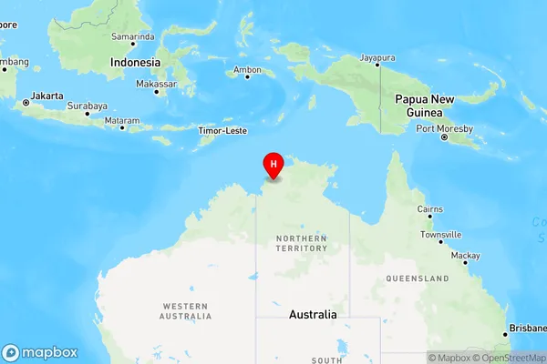
Daly River Region Map
Country
Main Region in AU
R1Coordinates
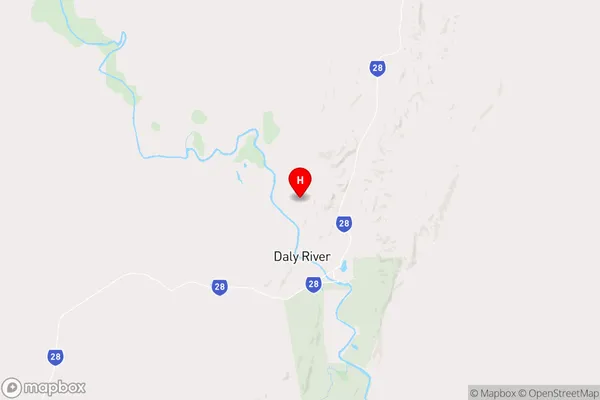
-13.7128168,130.6872034 (latitude/longitude)Daly River Area Map (Street)
Longitude
130.6254299Latitude
-11.75841975Daly River Elevation
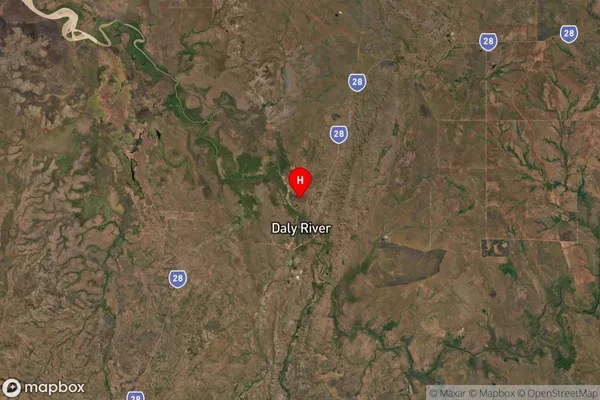
about 5.12 meters height above sea level (Altitude)Daly River Suburb Map (Satellite)
Distances
The distance from Daly River, Northern Territory - Outback, NT to AU Greater Capital CitiesSA1 Code 2011
70203105807SA1 Code 2016
70203105807SA2 Code
702031058SA3 Code
70203SA4 Code
702RA 2011
5RA 2016
5MMM 2015
7MMM 2019
7Charge Zone
NT1LGA Region
Tiwi IslandsLGA Code
74050Electorate
Solomon