Woolner Area, Woolner Postcode(0820) & Map in Woolner, Darwin, NT
Woolner Area, Woolner Postcode(0820) & Map in Woolner, Darwin, NT, AU, Postcode: 0820
Woolner, Woolner - Bayview - Winnellie, Darwin City, Darwin, Northern Territory, Australia, 0820
Woolner Postcode
Area Name
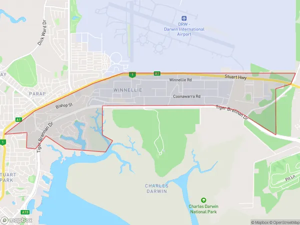
WoolnerWoolner Suburb Area Map (Polygon)

Woolner Introduction
Woolner is a remote locality in the Northern Territory of Australia. It is located approximately 1,100 kilometers south of Darwin and 350 kilometers west of Alice Springs. The town is situated on the banks of the Timor River and is home to a population of around 50 people. The primary industry in Woolner is agriculture, with the town serving as a hub for the surrounding cattle stations. The town has a primary school, a post office, and a general store.State Name
City or Big Region
District or Regional Area
Suburb Name
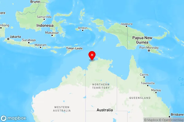
Woolner Region Map

Country
Main Region in AU
R1Coordinates
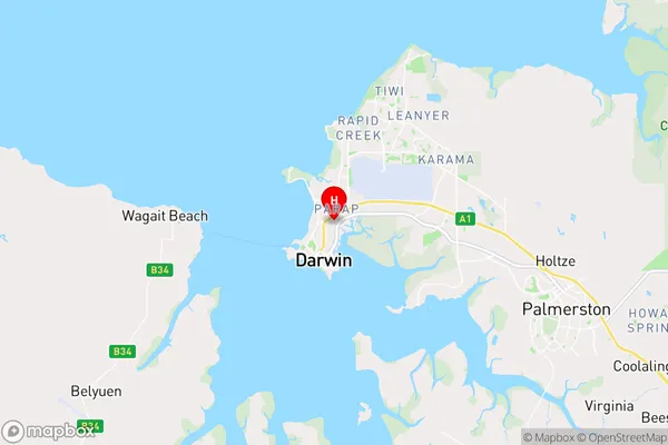
-12.437778,130.8475 (latitude/longitude)Woolner Area Map (Street)

Longitude
130.873315Latitude
-12.428017Woolner Elevation
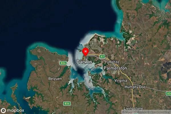
about 24.71 meters height above sea level (Altitude)Woolner Suburb Map (Satellite)

Distances
The distance from Woolner, Darwin, NT to AU Greater Capital CitiesSA1 Code 2011
70101100904SA1 Code 2016
70101100908SA2 Code
701011009SA3 Code
70101SA4 Code
701RA 2011
3RA 2016
3MMM 2015
2MMM 2019
2Charge Zone
NT1LGA Region
DarwinLGA Code
71000Electorate
Solomon