Castle Hill Area, Castle Hill Postcode(2154) & Map in Castle Hill, Sydney - Baulkham Hills and Hawkesbury, NSW
Castle Hill Area, Castle Hill Postcode(2154) & Map in Castle Hill, Sydney - Baulkham Hills and Hawkesbury, NSW, AU, Postcode: 2154
Castle Hill, Castle Hill - North, Baulkham Hills, Sydney - Baulkham Hills and Hawkesbury, New South Wales, Australia, 2154
Castle Hill Postcode
Area Name
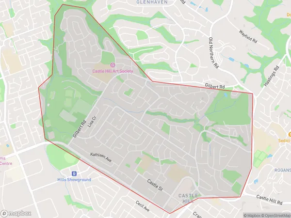
Castle HillCastle Hill Suburb Area Map (Polygon)

Castle Hill Introduction
Castle Hill is a suburb in Sydney's northwest, known for its large shopping center and historic castle. It is bordered by Baulkham Hills and Hawkesbury and is home to many families and young professionals. The area has excellent transport links and is within easy reach of the city center.State Name
City or Big Region
District or Regional Area
Suburb Name
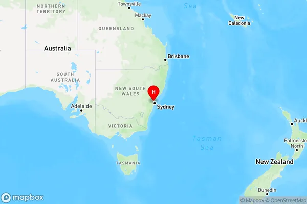
Castle Hill Region Map

Country
Main Region in AU
R1Coordinates
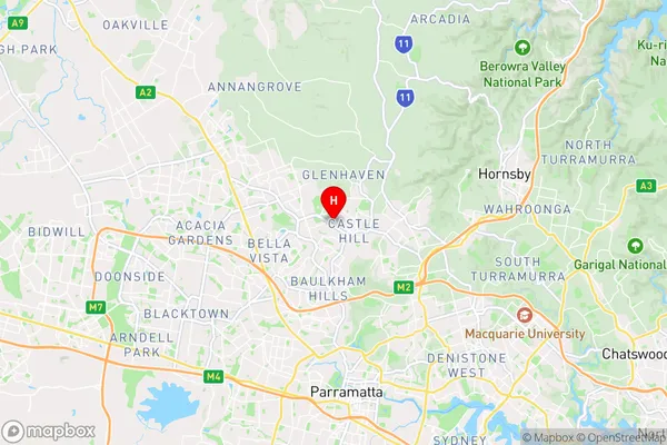
-33.7270691,150.9947439 (latitude/longitude)Castle Hill Area Map (Street)

Longitude
151.000948Latitude
-33.73238Castle Hill Elevation
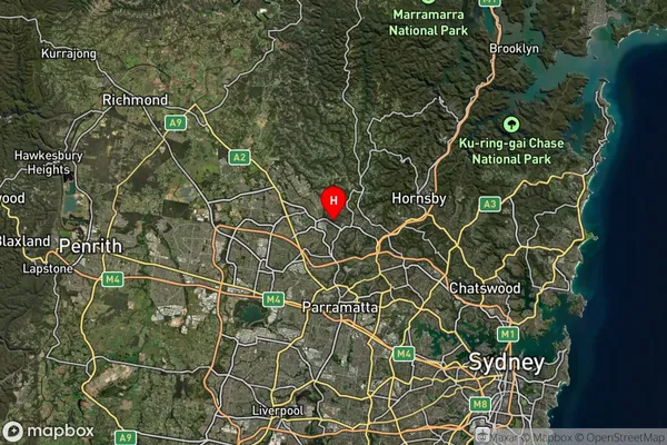
about 131.96 meters height above sea level (Altitude)Castle Hill Suburb Map (Satellite)

Distances
The distance from Castle Hill, Sydney - Baulkham Hills and Hawkesbury, NSW to AU Greater Capital CitiesSA1 Code 2011
11501129238SA1 Code 2016
11501155518SA2 Code
115011555SA3 Code
11501SA4 Code
115RA 2011
1RA 2016
1MMM 2015
1MMM 2019
1Charge Zone
N1LGA Region
ParramattaLGA Code
16260Electorate
Mitchell