Cronulla Area, Cronulla Postcode(2230) & Map in Cronulla, Sydney - Sutherland, NSW
Cronulla Area, Cronulla Postcode(2230) & Map in Cronulla, Sydney - Sutherland, NSW, AU, Postcode: 2230
Cronulla, Cronulla - Kurnell - Bundeena, Cronulla - Miranda - Caringbah, Sydney - Sutherland, New South Wales, Australia, 2230
Cronulla Postcode
Area Name
CronullaCronulla Suburb Area Map (Polygon)

Cronulla Introduction
Cronulla is a suburb in southern Sydney, known for its beautiful beaches, vibrant culture, and popular surfing spots. It is located 20 kilometers south of Sydney's central business district and is part of the Sutherland Shire. Cronulla has a diverse population and is home to many different ethnic groups, including Italians, Greeks, and Lebanese. The suburb has a rich history and was once a popular holiday destination for Sydney's wealthy elite. It is also known for its famous surf culture, with the Cronulla Sharks being one of the most successful rugby league teams in Australia.State Name
City or Big Region
District or Regional Area
Suburb Name
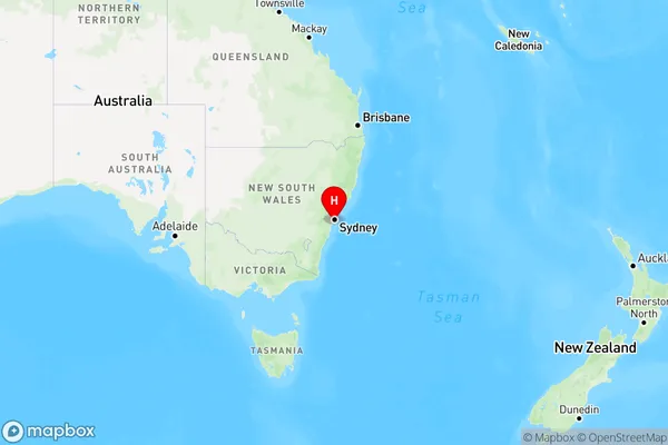
Cronulla Region Map

Country
Main Region in AU
R1Coordinates
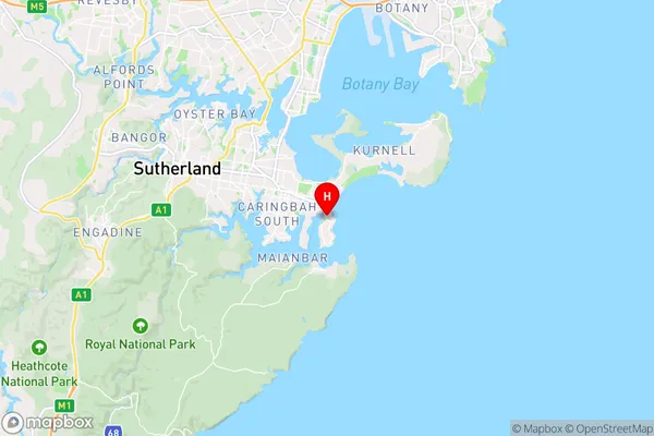
-34.05744,151.15219 (latitude/longitude)Cronulla Area Map (Street)

Longitude
151.136596Latitude
-34.093213Cronulla Elevation
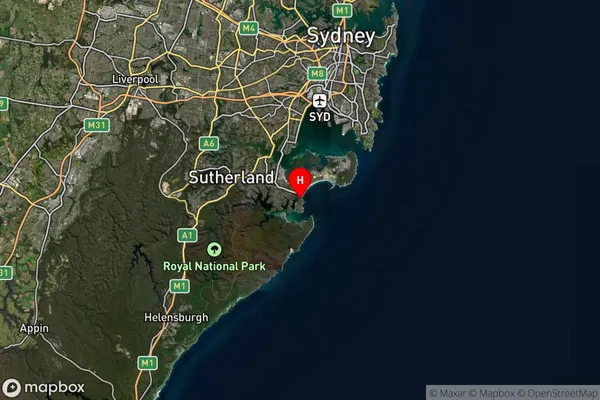
about 69.77 meters height above sea level (Altitude)Cronulla Suburb Map (Satellite)

Distances
The distance from Cronulla, Sydney - Sutherland, NSW to AU Greater Capital CitiesSA1 Code 2011
12801152822SA1 Code 2016
12801160414SA2 Code
128011604SA3 Code
12801SA4 Code
128RA 2011
1RA 2016
1MMM 2015
1MMM 2019
1Charge Zone
N1LGA Region
Sutherland ShireLGA Code
17150Electorate
Hughes