Yowie Bay Area, Yowie Bay Postcode(2228) & Map in Yowie Bay, Sydney - Sutherland, NSW
Yowie Bay Area, Yowie Bay Postcode(2228) & Map in Yowie Bay, Sydney - Sutherland, NSW, AU, Postcode: 2228
Yowie Bay, Miranda - Yowie Bay, Cronulla - Miranda - Caringbah, Sydney - Sutherland, New South Wales, Australia, 2228
Yowie Bay Postcode
Area Name
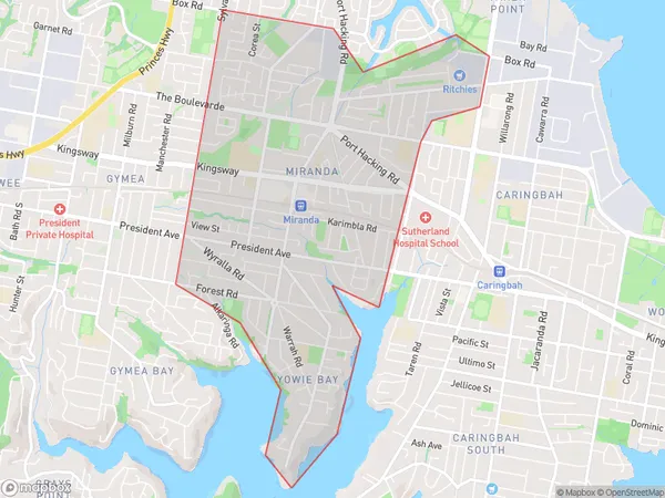
Yowie BayYowie Bay Suburb Area Map (Polygon)

Yowie Bay Introduction
Yowie Bay is a picturesque coastal suburb located in the Sutherland Shire of Sydney, New South Wales, Australia. It is known for its stunning beaches, lush greenery, and peaceful atmosphere. The bay is surrounded by national parks and offers a variety of outdoor activities such as swimming, hiking, and fishing. It is also home to the Yowie Bay Koala Hospital, which is dedicated to the care and rehabilitation of sick and injured koalas.State Name
City or Big Region
District or Regional Area
Suburb Name
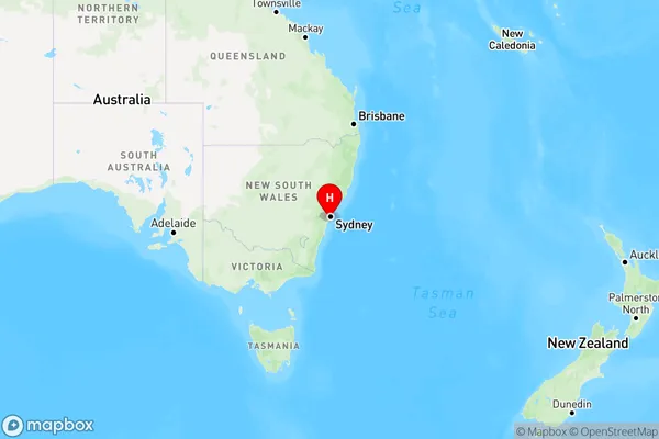
Yowie Bay Region Map

Country
Main Region in AU
R1Coordinates
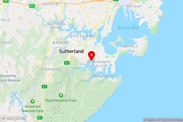
-34.04977,151.10334 (latitude/longitude)Yowie Bay Area Map (Street)

Longitude
151.101564Latitude
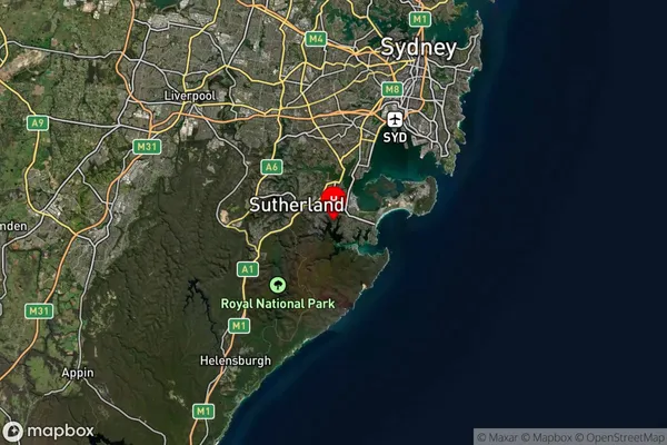
-34.037692Yowie Bay Suburb Map (Satellite)

Distances
The distance from Yowie Bay, Sydney - Sutherland, NSW to AU Greater Capital CitiesSA1 Code 2011
12801153009SA1 Code 2016
12801153009SA2 Code
128011530SA3 Code
12801SA4 Code
128RA 2011
1RA 2016
1MMM 2015
1MMM 2019
1Charge Zone
N1LGA Region
Sutherland ShireLGA Code
17150Electorate
Cook