Gymea Area, Gymea Postcode(2227) & Map in Gymea, Sydney - Sutherland, NSW
Gymea Area, Gymea Postcode(2227) & Map in Gymea, Sydney - Sutherland, NSW, AU, Postcode: 2227
Gymea, Gymea - Grays Point, Cronulla - Miranda - Caringbah, Sydney - Sutherland, New South Wales, Australia, 2227
Gymea Postcode
Area Name
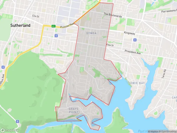
GymeaGymea Suburb Area Map (Polygon)

Gymea Introduction
Gymea is a suburb in southern Sydney, located in the Sutherland Shire. It is known for its beautiful beaches, lush gardens, and peaceful atmosphere. Gymea is also home to a variety of wildlife, including kangaroos, wallabies, and echidnas. The suburb has a rich history, with evidence of early Aboriginal settlements dating back thousands of years. It was also home to a major military base during World War II. Today, Gymea is a popular residential area with a growing population. It is surrounded by picturesque parks and reserves, including Gymea Bay Reserve and Kirrawee Reserve.State Name
City or Big Region
District or Regional Area
Suburb Name
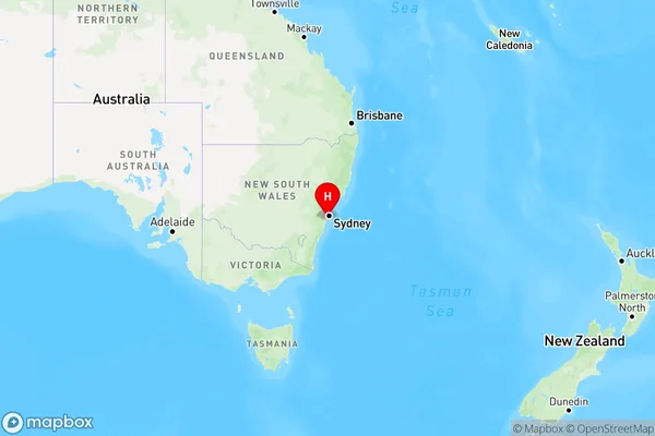
Gymea Region Map

Country
Main Region in AU
R1Coordinates
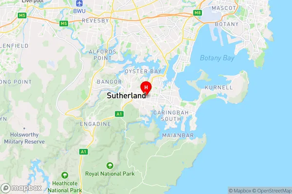
-34.0333,151.08556 (latitude/longitude)Gymea Area Map (Street)

Longitude
151.085005Latitude
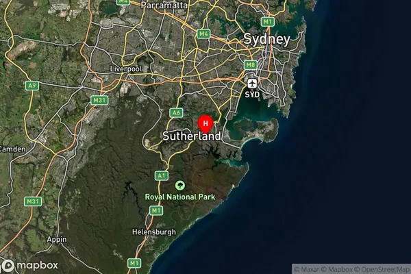
-34.04984Gymea Suburb Map (Satellite)

Distances
The distance from Gymea, Sydney - Sutherland, NSW to AU Greater Capital CitiesSA1 Code 2011
12801152921SA1 Code 2016
12801152921SA2 Code
128011529SA3 Code
12801SA4 Code
128RA 2011
1RA 2016
1MMM 2015
1MMM 2019
1Charge Zone
N1LGA Region
Sutherland ShireLGA Code
17150Electorate
Hughes