Sylvania Waters Area, Sylvania Waters Postcode(2224) & Map in Sylvania Waters, Sydney - Sutherland, NSW
Sylvania Waters Area, Sylvania Waters Postcode(2224) & Map in Sylvania Waters, Sydney - Sutherland, NSW, AU, Postcode: 2224
Sylvania Waters, Sylvania - Taren Point, Cronulla - Miranda - Caringbah, Sydney - Sutherland, New South Wales, Australia, 2224
Sylvania Waters Postcode
Area Name
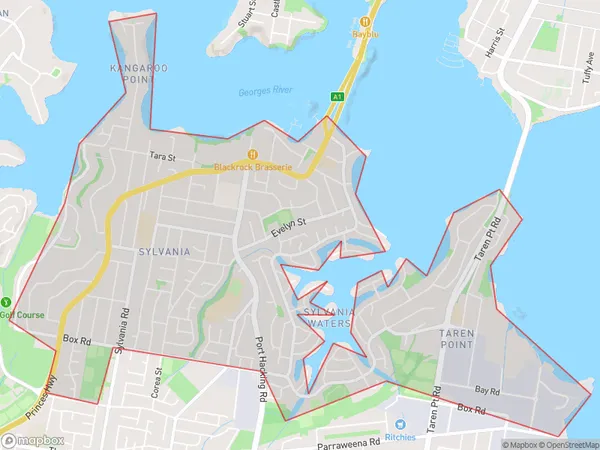
Sylvania WatersSylvania Waters Suburb Area Map (Polygon)

Sylvania Waters Introduction
Sylvania Waters is a suburb in southern Sydney, located in the Sutherland Shire. It is known for its beautiful beaches, parks, and waterways. The area has a rich history and was once home to the Gweagal people. Sylvania Waters is a popular destination for families and outdoor enthusiasts, with many walking trails and picnic spots. It is also home to several schools, including a primary school, a high school, and a TAFE.State Name
City or Big Region
District or Regional Area
Suburb Name
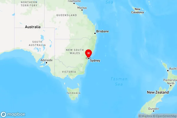
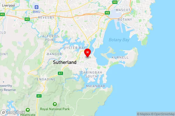
Sylvania Waters Region Map

Country
Main Region in AU
R1Coordinates
-34.02318,151.11156 (latitude/longitude)Sylvania Waters Area Map (Street)

Longitude
151.101891Latitude
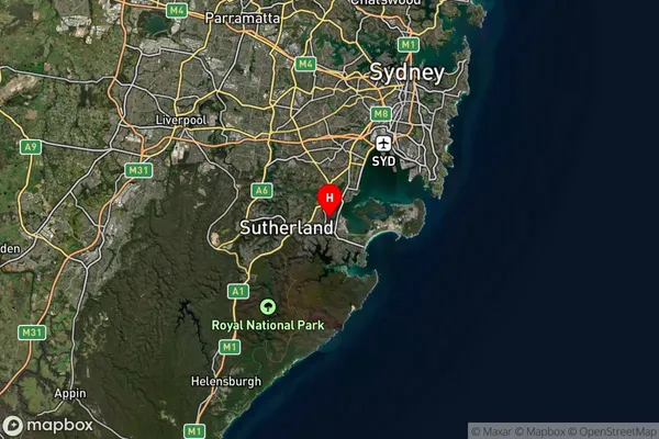
-34.01362Sylvania Waters Suburb Map (Satellite)

Distances
The distance from Sylvania Waters, Sydney - Sutherland, NSW to AU Greater Capital CitiesSA1 Code 2011
12801153119SA1 Code 2016
12801153119SA2 Code
128011531SA3 Code
12801SA4 Code
128RA 2011
1RA 2016
1MMM 2015
1MMM 2019
1Charge Zone
N1LGA Region
Georges RiverLGA Code
12930Electorate
Cook