Yarrawonga Park Area, Yarrawonga Park Postcode(2264) & Map in Yarrawonga Park, Newcastle and Lake Macquarie, NSW
Yarrawonga Park Area, Yarrawonga Park Postcode(2264) & Map in Yarrawonga Park, Newcastle and Lake Macquarie, NSW, AU, Postcode: 2264
Yarrawonga Park, Bonnells Bay - Silverwater, Lake Macquarie - West, Newcastle and Lake Macquarie, New South Wales, Australia, 2264
Yarrawonga Park Postcode
Area Name
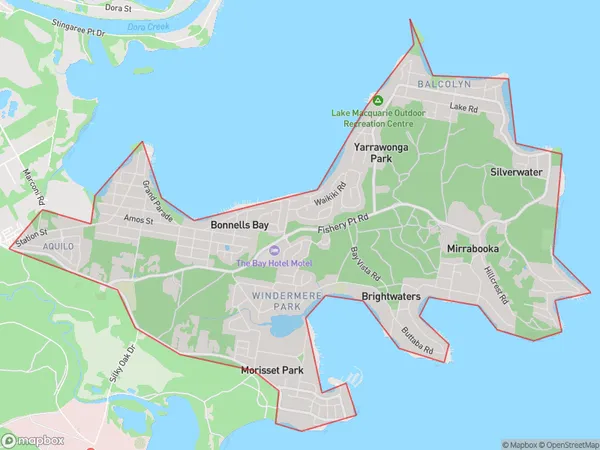
Yarrawonga ParkYarrawonga Park Suburb Area Map (Polygon)

Yarrawonga Park Introduction
Yarrawonga Park is a heritage-listed park located in Newcastle and Lake Macquarie, NSW, AU. It is a popular destination for picnics, barbecues, and walks along the lake's edge. The park has a rich history, with its first land acquisition occurring in 1886. It was named after the Yarrawonga River, which flows through the park. The park features a variety of flora and fauna, including native trees, shrubs, and birds. It also has a playground, picnic facilities, and a walking trail.State Name
City or Big Region
District or Regional Area
Suburb Name
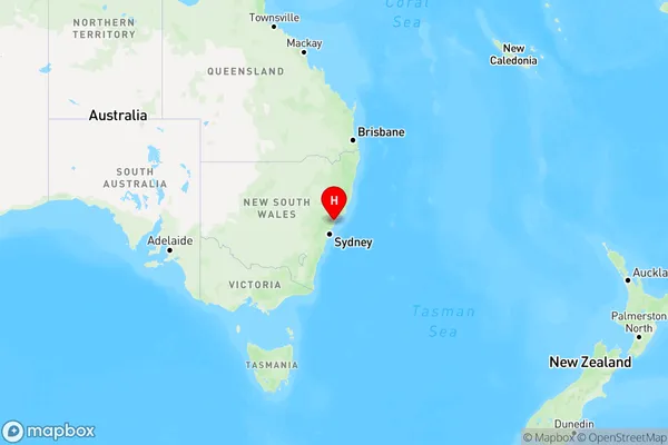
Yarrawonga Park Region Map

Country
Main Region in AU
R2Coordinates
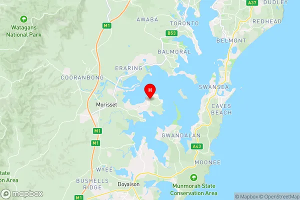
-33.101509,151.5471829 (latitude/longitude)Yarrawonga Park Area Map (Street)

Longitude
151.533807Latitude
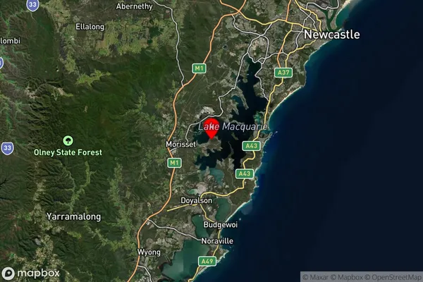
-33.106675Yarrawonga Park Suburb Map (Satellite)

Distances
The distance from Yarrawonga Park, Newcastle and Lake Macquarie, NSW to AU Greater Capital CitiesSA1 Code 2011
11102121602SA1 Code 2016
11102121602SA2 Code
111021216SA3 Code
11102SA4 Code
111RA 2011
1RA 2016
1MMM 2015
1MMM 2019
1Charge Zone
N2LGA Region
Lake MacquarieLGA Code
14650Electorate
Hunter