Woodleigh Gardens Area, Woodleigh Gardens Postcode(0812) & Map in Woodleigh Gardens, Darwin, NT
Woodleigh Gardens Area, Woodleigh Gardens Postcode(0812) & Map in Woodleigh Gardens, Darwin, NT, AU, Postcode: 0812
Woodleigh Gardens, Leanyer, Darwin Suburbs, Darwin, Northern Territory, Australia, 0812
Woodleigh Gardens Postcode
Area Name
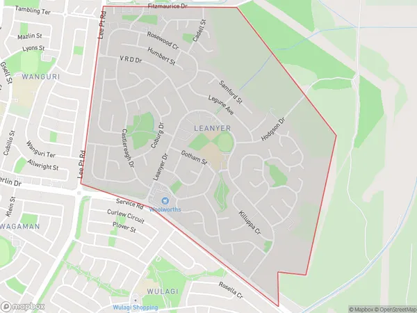
Woodleigh GardensWoodleigh Gardens Suburb Area Map (Polygon)

Woodleigh Gardens Introduction
Woodleigh Gardens is a residential suburb in Darwin, Northern Territory, Australia. It is located in the city's northern suburbs and is known for its lush green parks and gardens. The suburb has a variety of housing options, including single-family homes, duplexes, and apartments. It is also home to a number of schools, including Woodleigh School and St John's College. The suburb is well-connected to the rest of Darwin via the Stuart Highway and has a number of shopping centers and restaurants.State Name
City or Big Region
District or Regional Area
Suburb Name
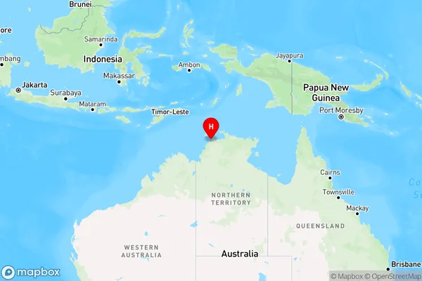
Woodleigh Gardens Region Map

Country
Main Region in AU
R1Coordinates
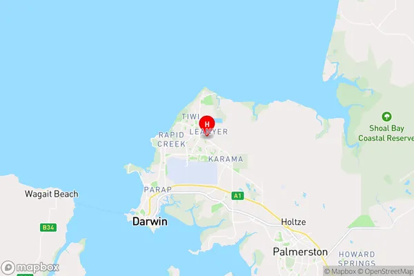
-12.3794,130.898 (latitude/longitude)Woodleigh Gardens Area Map (Street)

Longitude
130.916098Latitude
-12.404778Woodleigh Gardens Elevation
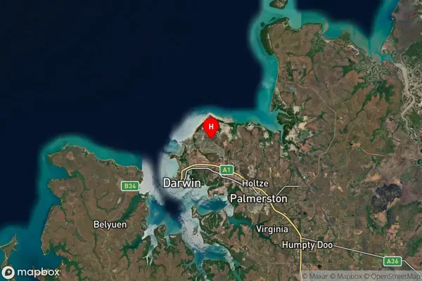
about 4.41 meters height above sea level (Altitude)Woodleigh Gardens Suburb Map (Satellite)

Distances
The distance from Woodleigh Gardens, Darwin, NT to AU Greater Capital CitiesSA1 Code 2011
70102102001SA1 Code 2016
70102102001SA2 Code
701021020SA3 Code
70102SA4 Code
701RA 2011
3RA 2016
3MMM 2015
2MMM 2019
2Charge Zone
NT1LGA Region
DarwinLGA Code
71000Electorate
Solomon