Sanderson Area, Sanderson Postcode(0812) & Map in Sanderson, Darwin, NT
Sanderson Area, Sanderson Postcode(0812) & Map in Sanderson, Darwin, NT, AU, Postcode: 0812
Sanderson, Malak - Marrara, Darwin Suburbs, Darwin, Northern Territory, Australia, 0812
Sanderson Postcode
Area Name
SandersonSanderson Suburb Area Map (Polygon)

Sanderson Introduction
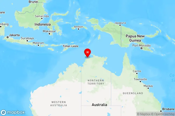
Sanderson is a suburb of Darwin in the Northern Territory of Australia. It is located about 10 kilometers from the city center and is home to a population of around 10,000 people. The suburb is named after Sir John Sanderson, who was a governor of the Northern Territory from 1911 to 1917. Sanderson is known for its lush tropical gardens and its relaxed, laid-back atmosphere. It is a popular destination for tourists and locals alike, with a variety of restaurants, cafes, and shops to explore.State Name
City or Big Region
District or Regional Area
Suburb Name
Sanderson Region Map

Country
Main Region in AU
R1Coordinates
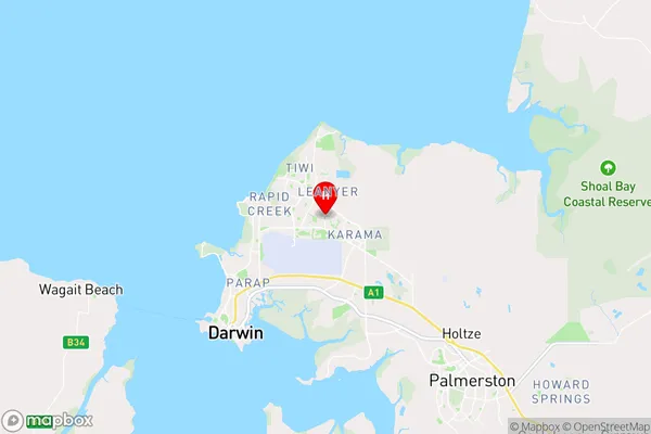
-12.3889,130.898 (latitude/longitude)Sanderson Area Map (Street)

Longitude
130.916098Latitude
-12.404778Sanderson Elevation
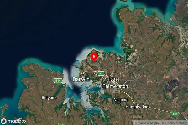
about 4.41 meters height above sea level (Altitude)Sanderson Suburb Map (Satellite)

Distances
The distance from Sanderson, Darwin, NT to AU Greater Capital CitiesSA1 Code 2011
70102102204SA1 Code 2016
70102102204SA2 Code
701021022SA3 Code
70102SA4 Code
701RA 2011
3RA 2016
3MMM 2015
2MMM 2019
2Charge Zone
NT1LGA Region
DarwinLGA Code
71000Electorate
Solomon