Hornsby Westfield Area, Hornsby Westfield Postcode(1635) & Map in Hornsby Westfield, Sydney - North Sydney and Hornsby, NSW
Hornsby Westfield Area, Hornsby Westfield Postcode(1635) & Map in Hornsby Westfield, Sydney - North Sydney and Hornsby, NSW, AU, Postcode: 1635
Hornsby Westfield, Hornsby - East, Hornsby, Sydney - North Sydney and Hornsby, New South Wales, Australia, 1635
Hornsby Westfield Postcode
Area Name
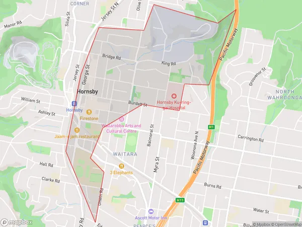
Hornsby WestfieldHornsby Westfield Suburb Area Map (Polygon)

Hornsby Westfield Introduction
Hornsby Westfield is a major shopping centre located in the Sydney suburb of North Sydney. It is anchored by major retailers such as Myer, Coles, Target, and Kmart, as well as a variety of specialty stores and restaurants. The centre also features a cinema complex and a large indoor playground. Hornsby Westfield is easily accessible by public transport and has ample parking available.State Name
City or Big Region
District or Regional Area
Suburb Name
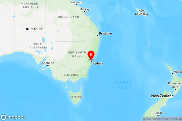
Hornsby Westfield Region Map

Country
Main Region in AU
R1Coordinates
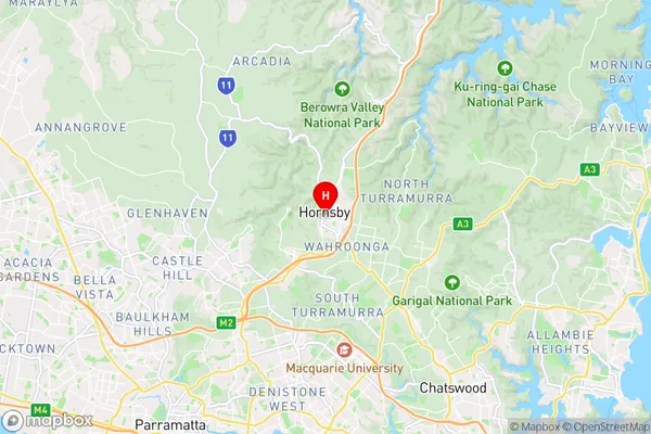
-33.7046,151.101 (latitude/longitude)Hornsby Westfield Area Map (Street)

Longitude
151.101Latitude
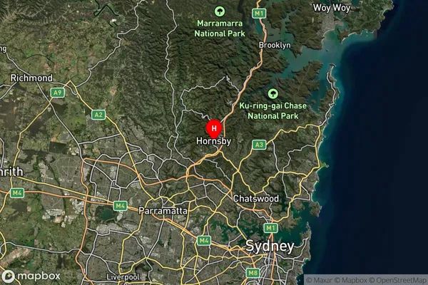
-33.7046Hornsby Westfield Suburb Map (Satellite)

Distances
The distance from Hornsby Westfield, Sydney - North Sydney and Hornsby, NSW to AU Greater Capital CitiesSA1 Code 2011
12102140567SA1 Code 2016
12102157715SA2 Code
121021577SA3 Code
12102SA4 Code
121RA 2011
1RA 2016
1MMM 2015
1MMM 2019
1Charge Zone
N1LGA Region
Ku-ring-gaiLGA Code
14500Electorate
Berowra