Hillsborough Area, Hillsborough Postcode(2290) & Map in Hillsborough, Newcastle and Lake Macquarie, NSW
Hillsborough Area, Hillsborough Postcode(2290) & Map in Hillsborough, Newcastle and Lake Macquarie, NSW, AU, Postcode: 2290
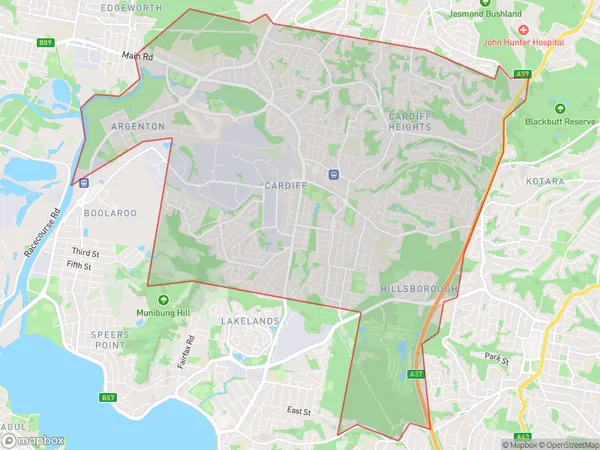
Hillsborough, Glendale - Cardiff - Hillsborough, Lake Macquarie - East, Newcastle and Lake Macquarie, New South Wales, Australia, 2290
Hillsborough Postcode
Area Name
HillsboroughHillsborough Suburb Area Map (Polygon)
Hillsborough Introduction
Hillsborough is a suburb of Newcastle, located in the Hunter Region of New South Wales, Australia. It is situated approximately 12 kilometers south of Newcastle's central business district and is part of the City of Newcastle local government area. Hillsborough is known for its historic homes and gardens, as well as its peaceful atmosphere and scenic surroundings. The suburb has a population of around 10,000 people and is home to several parks, including King Edward Park and Hillsborough Park.State Name
City or Big Region
District or Regional Area
Suburb Name
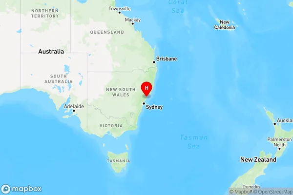
Hillsborough Region Map
Country
Main Region in AU
R2Coordinates
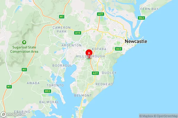
-32.9618812,151.6727998 (latitude/longitude)Hillsborough Area Map (Street)
Longitude
151.707801Latitude
-32.983963Hillsborough Elevation
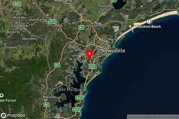
about 90.19 meters height above sea level (Altitude)Hillsborough Suburb Map (Satellite)
Distances
The distance from Hillsborough, Newcastle and Lake Macquarie, NSW to AU Greater Capital CitiesSA1 Code 2011
11101120902SA1 Code 2016
11101120902SA2 Code
111011209SA3 Code
11101SA4 Code
111RA 2011
1RA 2016
1MMM 2015
1MMM 2019
1Charge Zone
N2LGA Region
NewcastleLGA Code
15900Electorate
Shortland