Mapuru Area, Mapuru Postcode(0822) & Map in Mapuru, Northern Territory - Outback, NT
Mapuru Area, Mapuru Postcode(0822) & Map in Mapuru, Northern Territory - Outback, NT, AU, Postcode: 0822
Mapuru, Alligator, Daly - Tiwi - West Arnhem, Northern Territory - Outback, Northern Territory, Australia, 0822
Mapuru Postcode
Area Name
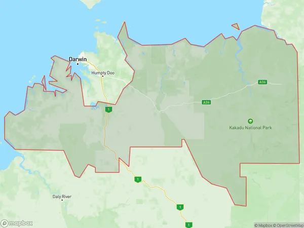
MapuruMapuru Suburb Area Map (Polygon)
Mapuru Introduction
Mapuru is a remote Aboriginal community in the Northern Territory, Australia. It is located on the banks of the Roper River and is home to around 100 people. The community is known for its traditional art and culture, including painting and weaving. Mapuru is also a popular destination for tourists who want to experience the Outback and learn about the local Aboriginal way of life.State Name
City or Big Region
District or Regional Area
Suburb Name
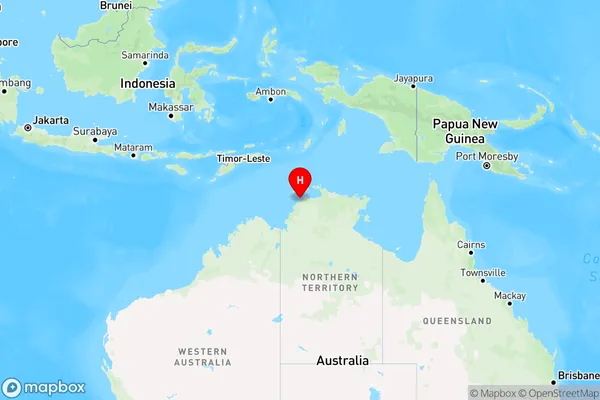
Mapuru Region Map
Country
Main Region in AU
R1Coordinates
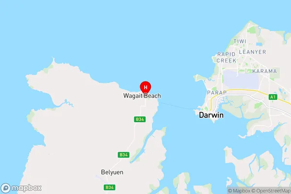
-12.435556,130.748056 (latitude/longitude)Mapuru Area Map (Street)
Longitude
130.6254299Latitude
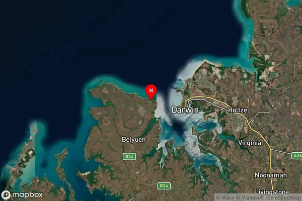
-11.75841975Mapuru Suburb Map (Satellite)
Distances
The distance from Mapuru, Northern Territory - Outback, NT to AU Greater Capital CitiesSA1 Code 2011
70203105703SA1 Code 2016
70203105703SA2 Code
702031057SA3 Code
70203SA4 Code
702RA 2011
4RA 2016
4MMM 2015
6MMM 2019
6Charge Zone
undefinedLGA Region
Tiwi IslandsLGA Code
74050Electorate
undefined