Macquarie Hills Area, Macquarie Hills Postcode(2285) & Map in Macquarie Hills, Newcastle and Lake Macquarie, NSW
Macquarie Hills Area, Macquarie Hills Postcode(2285) & Map in Macquarie Hills, Newcastle and Lake Macquarie, NSW, AU, Postcode: 2285
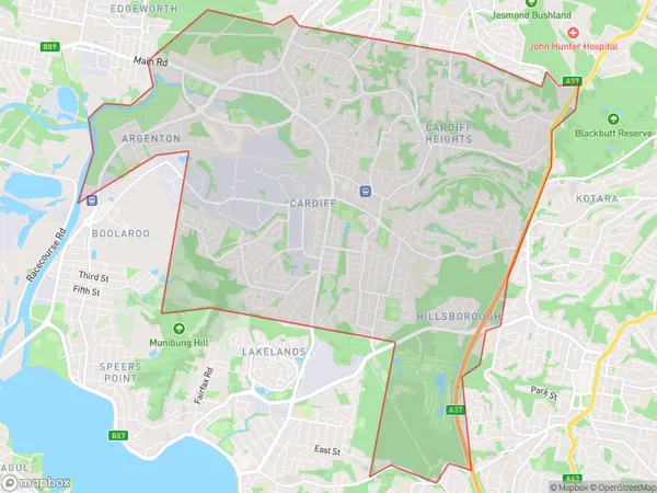
Macquarie Hills, Glendale - Cardiff - Hillsborough, Lake Macquarie - East, Newcastle and Lake Macquarie, New South Wales, Australia, 2285
Macquarie Hills Postcode
Area Name
Macquarie HillsMacquarie Hills Suburb Area Map (Polygon)
Macquarie Hills Introduction
Macquarie Hills is a suburb of Newcastle, New South Wales, Australia. It is located 20 kilometers west of Newcastle's central business district and is part of the City of Lake Macquarie local government area. The suburb is named after the Macquarie River, which flows through it. It is a popular residential area with a mix of houses, apartments, and townhouses. The suburb has a number of parks and recreational facilities, including the Macquarie Hills Golf Club and the Macquarie Hills Sports Complex.State Name
City or Big Region
District or Regional Area
Suburb Name
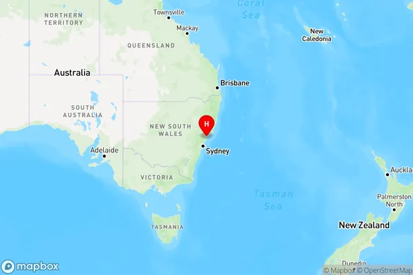
Macquarie Hills Region Map
Country
Main Region in AU
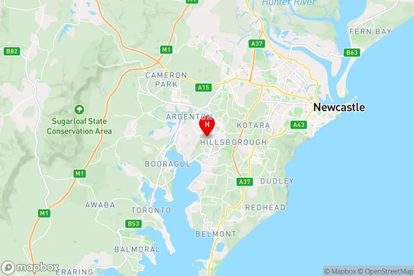
R2Coordinates
-32.953,151.65 (latitude/longitude)Macquarie Hills Area Map (Street)
Longitude
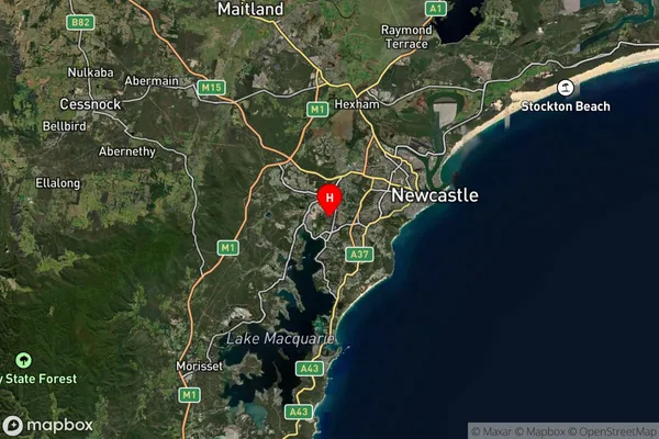
151.651095Latitude
-32.933305Macquarie Hills Suburb Map (Satellite)
Distances
The distance from Macquarie Hills, Newcastle and Lake Macquarie, NSW to AU Greater Capital CitiesSA1 Code 2011
11101120914SA1 Code 2016
11101120914SA2 Code
111011209SA3 Code
11101SA4 Code
111RA 2011
1RA 2016
1MMM 2015
1MMM 2019
1Charge Zone
N2LGA Region
NewcastleLGA Code
15900Electorate
Shortland