Cardiff South Area, Cardiff South Postcode(2285) & Map in Cardiff South, Newcastle and Lake Macquarie, NSW
Cardiff South Area, Cardiff South Postcode(2285) & Map in Cardiff South, Newcastle and Lake Macquarie, NSW, AU, Postcode: 2285
Cardiff South, Glendale - Cardiff - Hillsborough, Lake Macquarie - East, Newcastle and Lake Macquarie, New South Wales, Australia, 2285
Cardiff South Postcode
Area Name
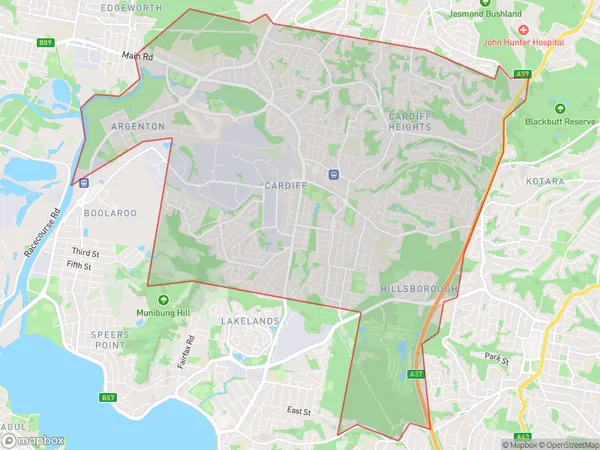
Cardiff SouthCardiff South Suburb Area Map (Polygon)
Cardiff South Introduction
Cardiff South, Newcastle, and Lake Macquarie is a federal electoral division in New South Wales, Australia. It was created in 1949 and named after the city of Cardiff in Wales. The division includes the suburbs of Cardiff, Newcastle, Lake Macquarie, and parts of the Central Coast and Hunter regions. It is represented in the Australian House of Representatives by Alex Hawke, a member of the Labor Party.State Name
City or Big Region
District or Regional Area
Suburb Name
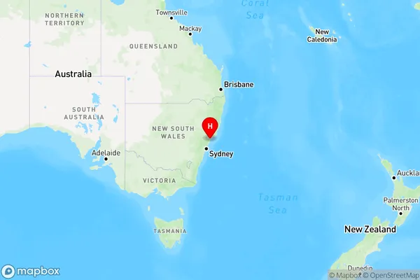
Cardiff South Region Map
Country
Main Region in AU
R2Coordinates
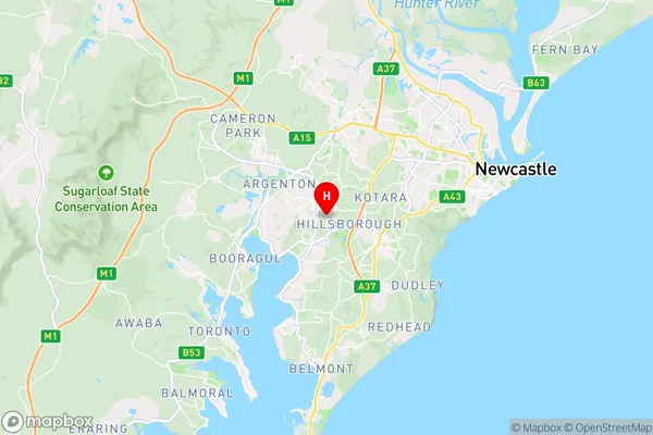
-32.953,151.662 (latitude/longitude)Cardiff South Area Map (Street)
Longitude
151.651095Latitude
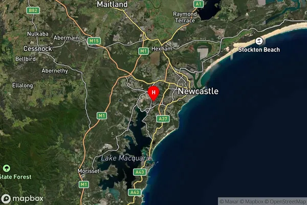
-32.933305Cardiff South Suburb Map (Satellite)
Distances
The distance from Cardiff South, Newcastle and Lake Macquarie, NSW to AU Greater Capital CitiesSA1 Code 2011
11101120932SA1 Code 2016
11101120932SA2 Code
111011209SA3 Code
11101SA4 Code
111RA 2011
1RA 2016
1MMM 2015
1MMM 2019
1Charge Zone
N2LGA Region
NewcastleLGA Code
15900Electorate
Shortland