Cowleds Landing Area, Cowleds Landing Postcode(5609) & Map in Cowleds Landing, South Australia - Outback, SA
Cowleds Landing Area, Cowleds Landing Postcode(5609) & Map in Cowleds Landing, South Australia - Outback, SA, AU, Postcode: 5609
Cowleds Landing, Kimba - Cleve - Franklin Harbour, Eyre Peninsula and South West, South Australia - Outback, South Australia, Australia, 5609
Cowleds Landing Postcode
Area Name
Cowleds LandingCowleds Landing Suburb Area Map (Polygon)
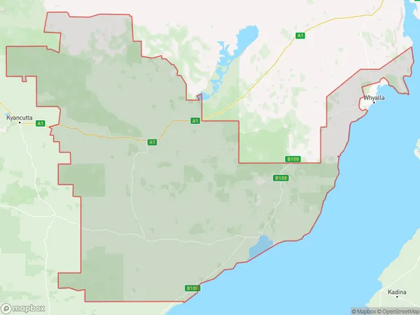
Cowleds Landing Introduction
Cowleds Landing is a small town in South Australia's Outback, located on the banks of the Murray River. It is known for its historic buildings, including the Cowleds Landing Hotel, which was built in 1879. The town is a popular destination for fishing, boating, and wildlife watching.State Name
City or Big Region
District or Regional Area
Suburb Name
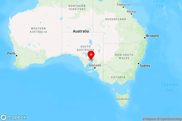
Cowleds Landing Region Map
Country
Main Region in AU
R3Coordinates
-33.1449,137.443 (latitude/longitude)Cowleds Landing Area Map (Street)
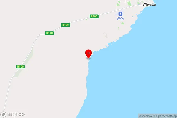
Longitude
137.4398767Latitude
-33.14979064Cowleds Landing Elevation
about 3.79 meters height above sea level (Altitude)Cowleds Landing Suburb Map (Satellite)

Distances
The distance from Cowleds Landing, South Australia - Outback, SA to AU Greater Capital CitiesSA1 Code 2011
40601113112SA1 Code 2016
40601113112SA2 Code
406011131SA3 Code
40601SA4 Code
406RA 2011
3RA 2016
3MMM 2015
5MMM 2019
5Charge Zone
S2LGA Region
WhyallaLGA Code
48540Electorate
Grey