Wilton Area, Wilton Postcode(0852) & Map in Wilton, Northern Territory - Outback, NT
Wilton Area, Wilton Postcode(0852) & Map in Wilton, Northern Territory - Outback, NT, AU, Postcode: 0852
Wilton, Gulf, Katherine, Northern Territory - Outback, Northern Territory, Australia, 0852
Wilton Postcode
Area Name
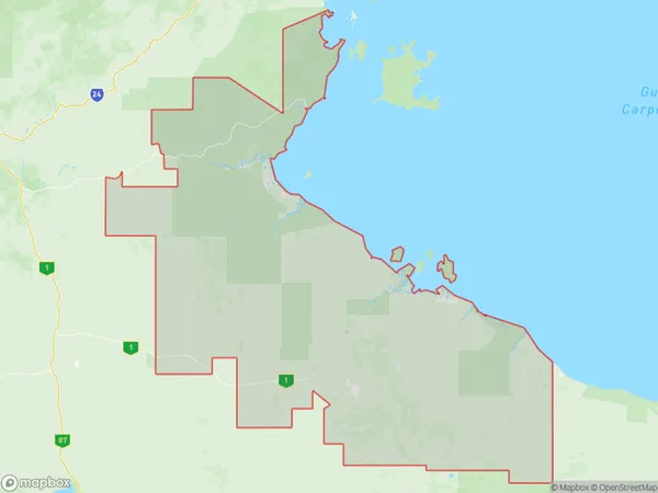
WiltonWilton Suburb Area Map (Polygon)
Wilton Introduction
Wilton is a small town in the Northern Territory of Australia, located on the Stuart Highway. It is known for its outback scenery, including the nearby Ayers Rock and Kings Canyon. The town has a population of around 1,000 people and offers a range of accommodation and tourist attractions.State Name
City or Big Region
District or Regional Area
Suburb Name
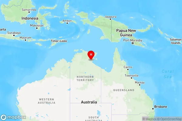
Wilton Region Map
Country
Main Region in AU
R1Coordinates
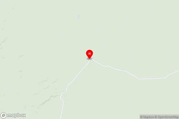
-14.4025,135.086 (latitude/longitude)Wilton Area Map (Street)
Longitude
130.8418661Latitude
-16.4525888Wilton Elevation
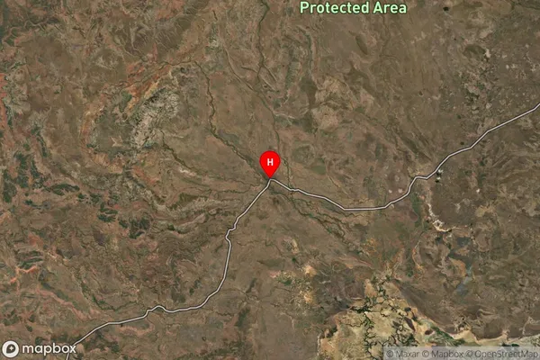
about 97.45 meters height above sea level (Altitude)Wilton Suburb Map (Satellite)
Distances
The distance from Wilton, Northern Territory - Outback, NT to AU Greater Capital CitiesSA1 Code 2011
70205106609SA1 Code 2016
70205106609SA2 Code
702051066SA3 Code
70205SA4 Code
702RA 2011
5RA 2016
5MMM 2015
7MMM 2019
7Charge Zone
NT1LGA Region
Victoria DalyLGA Code
74550Electorate
Lingiari