Uralla Area, Uralla Postcode(0852) & Map in Uralla, Northern Territory - Outback, NT
Uralla Area, Uralla Postcode(0852) & Map in Uralla, Northern Territory - Outback, NT, AU, Postcode: 0852
Uralla, Katherine, Katherine, Northern Territory - Outback, Northern Territory, Australia, 0852
Uralla Postcode
Area Name
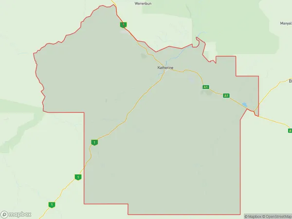
UrallaUralla Suburb Area Map (Polygon)
Uralla Introduction
Uralla is a small town in the Northern Territory of Australia, located in the Outback. It is known for its natural beauty, including the nearby MacDonnell Ranges and the Warrumbungle National Park. Uralla is a popular destination for tourists looking to experience the Australian Outback and its unique wildlife and landscapes.State Name
City or Big Region
District or Regional Area
Suburb Name
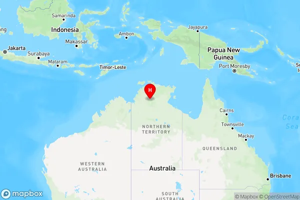
Uralla Region Map
Country
Main Region in AU
R1Coordinates
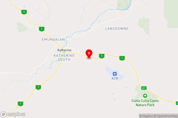
-14.4858,132.32 (latitude/longitude)Uralla Area Map (Street)
Longitude
130.8418661Latitude
-16.4525888Uralla Elevation
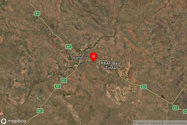
about 112.30 meters height above sea level (Altitude)Uralla Suburb Map (Satellite)
Distances
The distance from Uralla, Northern Territory - Outback, NT to AU Greater Capital CitiesSA1 Code 2011
70205106709SA1 Code 2016
70205106709SA2 Code
702051067SA3 Code
70205SA4 Code
702RA 2011
4RA 2016
4MMM 2015
6MMM 2019
6Charge Zone
NT1LGA Region
Victoria DalyLGA Code
74550Electorate
Lingiari