Emungalan Area, Emungalan Postcode(0850) & Map in Emungalan, Northern Territory - Outback, NT
Emungalan Area, Emungalan Postcode(0850) & Map in Emungalan, Northern Territory - Outback, NT, AU, Postcode: 0850
Emungalan, Katherine, Katherine, Northern Territory - Outback, Northern Territory, Australia, 0850
Emungalan Postcode
Area Name
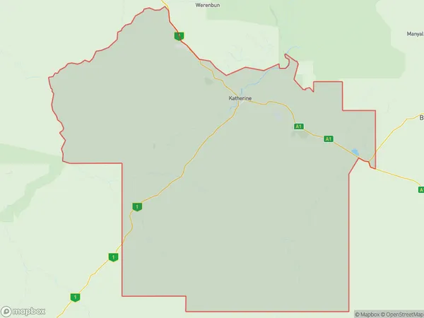
EmungalanEmungalan Suburb Area Map (Polygon)
Emungalan Introduction
Emungalan is a small town in the Northern Territory of Australia, located in the Outback. It is known for its cattle station and is a popular destination for tourists looking to experience the Australian Outback.State Name
City or Big Region
District or Regional Area
Suburb Name
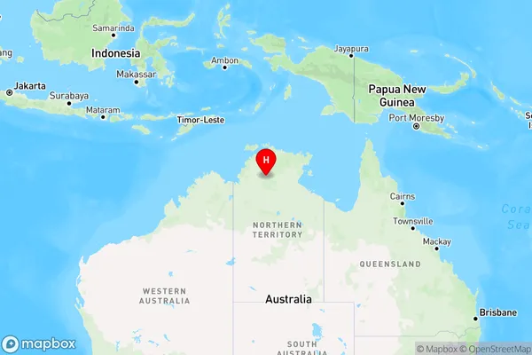
Emungalan Region Map
Country
Main Region in AU
R1Coordinates
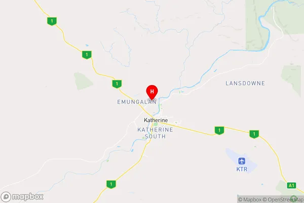
-14.4412,132.258 (latitude/longitude)Emungalan Area Map (Street)
Longitude
132.2418315Latitude
-14.4161067Emungalan Elevation
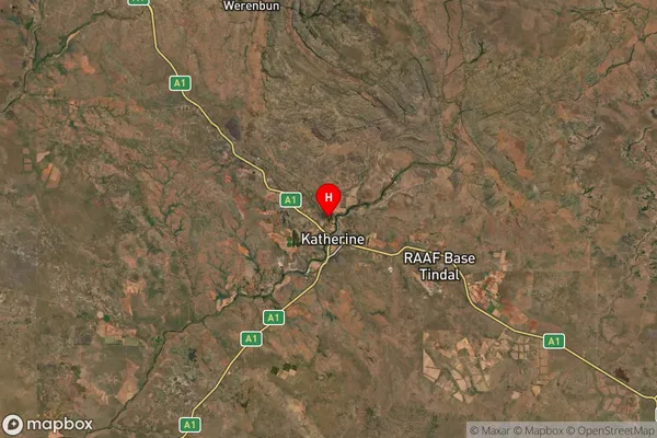
about 116.53 meters height above sea level (Altitude)Emungalan Suburb Map (Satellite)
Distances
The distance from Emungalan, Northern Territory - Outback, NT to AU Greater Capital CitiesSA1 Code 2011
70205106721SA1 Code 2016
70205106721SA2 Code
702051067SA3 Code
70205SA4 Code
702RA 2011
4RA 2016
4MMM 2015
6MMM 2019
6Charge Zone
NT1LGA Region
KatherineLGA Code
72200Electorate
Lingiari