Wurrumiyanga Area, Wurrumiyanga Postcode(0822) & Map in Wurrumiyanga, Northern Territory - Outback, NT
Wurrumiyanga Area, Wurrumiyanga Postcode(0822) & Map in Wurrumiyanga, Northern Territory - Outback, NT, AU, Postcode: 0822
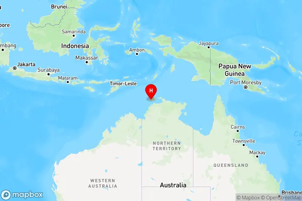
Wurrumiyanga, Tiwi Islands, Daly - Tiwi - West Arnhem, Northern Territory - Outback, Northern Territory, Australia, 0822
Wurrumiyanga Postcode
Area Name
WurrumiyangaWurrumiyanga Suburb Area Map (Polygon)

Wurrumiyanga Introduction
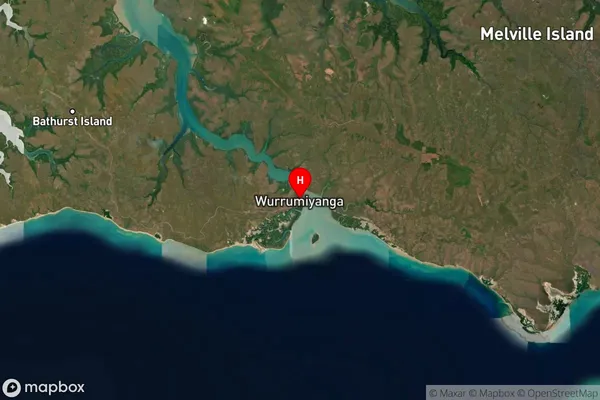
Wurrumiyanga is a small Aboriginal community in the Northern Territory, Australia, located on the west coast of Bathurst Island. It is known for its beautiful beaches, rich cultural heritage, and traditional art. The community is home to around 1,000 people, who speak the Yolngu Matha language. Wurrumiyanga is a popular destination for tourists seeking to experience the Outback and learn about the local culture.State Name
City or Big Region
District or Regional Area
Suburb Name
Wurrumiyanga Region Map
Country
Main Region in AU
R1Coordinates
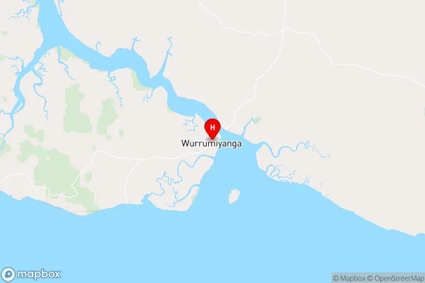
-11.7609,130.633 (latitude/longitude)Wurrumiyanga Area Map (Street)
Longitude
130.6254299Latitude
-11.75841975Wurrumiyanga Elevation
about 15.86 meters height above sea level (Altitude)Wurrumiyanga Suburb Map (Satellite)
Distances
The distance from Wurrumiyanga, Northern Territory - Outback, NT to AU Greater Capital CitiesSA1 Code 2011
70203106003SA1 Code 2016
70203106003SA2 Code
702031060SA3 Code
70203SA4 Code
702RA 2011
4RA 2016
4MMM 2015
7MMM 2019
7Charge Zone
NT1LGA Region
Tiwi IslandsLGA Code
74050Electorate
Solomon