West Arnhem Area, West Arnhem Postcode(0822) & Map in West Arnhem, Northern Territory - Outback, NT
West Arnhem Area, West Arnhem Postcode(0822) & Map in West Arnhem, Northern Territory - Outback, NT, AU, Postcode: 0822
West Arnhem, West Arnhem, Daly - Tiwi - West Arnhem, Northern Territory - Outback, Northern Territory, Australia, 0822
West Arnhem Postcode
Area Name
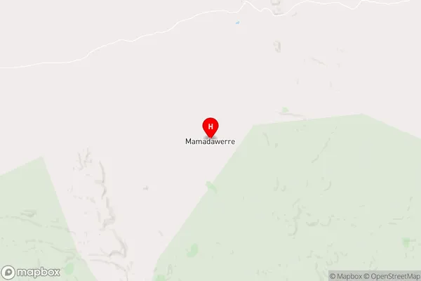
West ArnhemWest Arnhem Suburb Area Map (Polygon)

West Arnhem Introduction
West Arnhem is a remote region in the Northern Territory of Australia, known for its rugged landscapes, Aboriginal art, and rich cultural heritage. It is home to the famous Arnhem Land rock art sites, including Nourlangie Rock and Burrungkuy (Nourlangie). Visitors can explore the region's gorges, waterfalls, and ancient rock formations, and learn about the traditional owners of the land, the Yolngu people.State Name
City or Big Region
District or Regional Area
Suburb Name
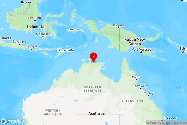
West Arnhem Region Map
Country
Main Region in AU
R1Coordinates
-12.2562,133.657 (latitude/longitude)West Arnhem Area Map (Street)
Longitude
130.6254299Latitude
-11.75841975West Arnhem Elevation
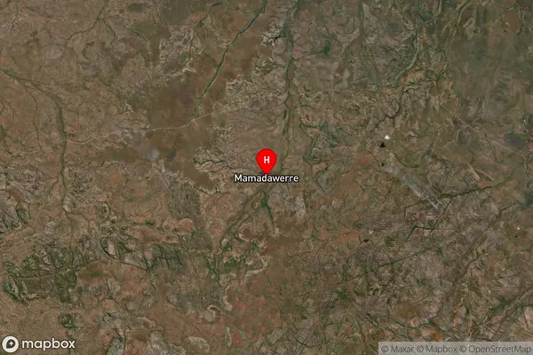
about 15.86 meters height above sea level (Altitude)West Arnhem Suburb Map (Satellite)
Distances
The distance from West Arnhem, Northern Territory - Outback, NT to AU Greater Capital CitiesSA1 Code 2011
70203106105SA1 Code 2016
70203106105SA2 Code
702031061SA3 Code
70203SA4 Code
702RA 2011
5RA 2016
5MMM 2015
7MMM 2019
7Charge Zone
NT1LGA Region
Tiwi IslandsLGA Code
74050Electorate
Solomon