Nemarluk Area, Nemarluk Postcode(0822) & Map in Nemarluk, Northern Territory - Outback, NT
Nemarluk Area, Nemarluk Postcode(0822) & Map in Nemarluk, Northern Territory - Outback, NT, AU, Postcode: 0822
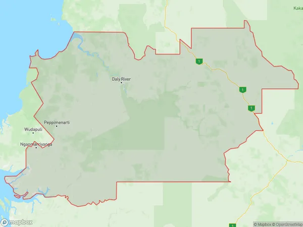
Nemarluk, Daly, Daly - Tiwi - West Arnhem, Northern Territory - Outback, Northern Territory, Australia, 0822
Nemarluk Postcode
Area Name
NemarlukNemarluk Suburb Area Map (Polygon)
Nemarluk Introduction
Nemarluk is a small Aboriginal community in the Northern Territory of Australia. It is located on the banks of the Roper River and is known for its beautiful scenery, including the nearby Arnhem Land escarpment. The community is home to around 100 people, who live a traditional lifestyle based on hunting, fishing, and gathering. Nemarluk is also home to a number of cultural sites, including rock art and sacred sites.State Name
City or Big Region
District or Regional Area
Suburb Name
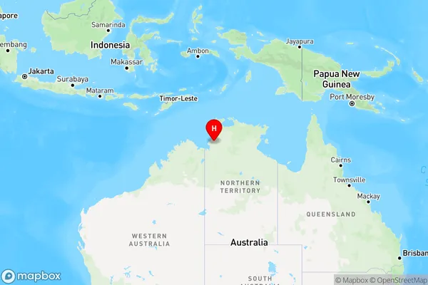
Nemarluk Region Map
Country
Main Region in AU
R1Coordinates
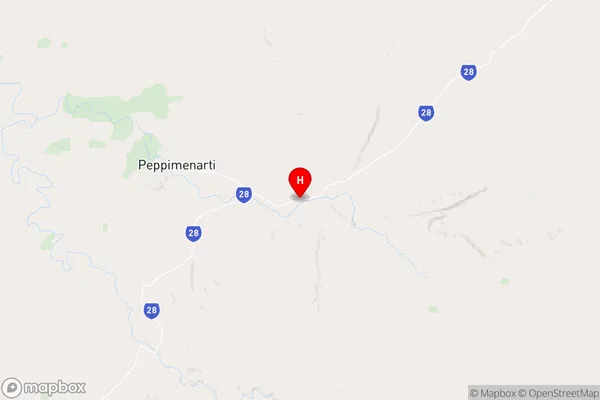
-14.1739,130.161 (latitude/longitude)Nemarluk Area Map (Street)
Longitude
130.6254299Latitude
-11.75841975Nemarluk Elevation
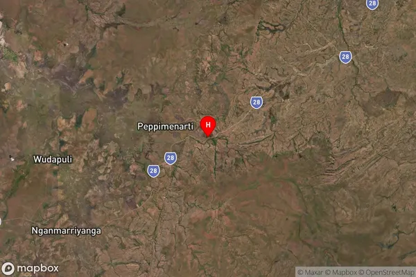
about 15.86 meters height above sea level (Altitude)Nemarluk Suburb Map (Satellite)
Distances
The distance from Nemarluk, Northern Territory - Outback, NT to AU Greater Capital CitiesSA1 Code 2011
70203105806SA1 Code 2016
70203105806SA2 Code
702031058SA3 Code
70203SA4 Code
702RA 2011
5RA 2016
5MMM 2015
7MMM 2019
7Charge Zone
NT1LGA Region
Tiwi IslandsLGA Code
74050Electorate
Solomon