Milyakburra Area, Milyakburra Postcode(0822) & Map in Milyakburra, Northern Territory - Outback, NT
Milyakburra Area, Milyakburra Postcode(0822) & Map in Milyakburra, Northern Territory - Outback, NT, AU, Postcode: 0822
Milyakburra, Anindilyakwa, East Arnhem, Northern Territory - Outback, Northern Territory, Australia, 0822
Milyakburra Postcode
Area Name
MilyakburraMilyakburra Suburb Area Map (Polygon)
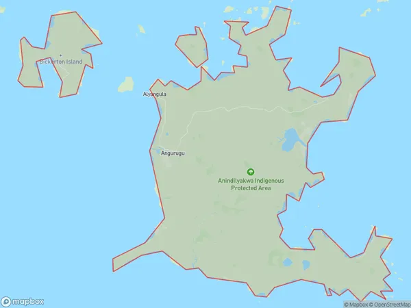
Milyakburra Introduction
Milyakburra is a remote Aboriginal community in the Northern Territory, Australia. It is located on the banks of the Roper River and is home to around 100 people. The community is known for its traditional art and culture, including painting and weaving.State Name
City or Big Region
District or Regional Area
Suburb Name
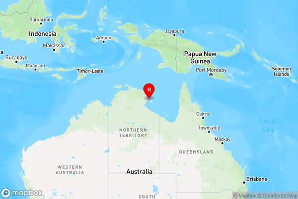
Milyakburra Region Map
Country
Main Region in AU
R1Coordinates
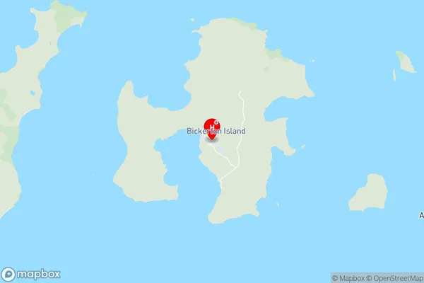
-13.7793,136.202 (latitude/longitude)Milyakburra Area Map (Street)
Longitude
130.6254299Latitude
-11.75841975Milyakburra Elevation
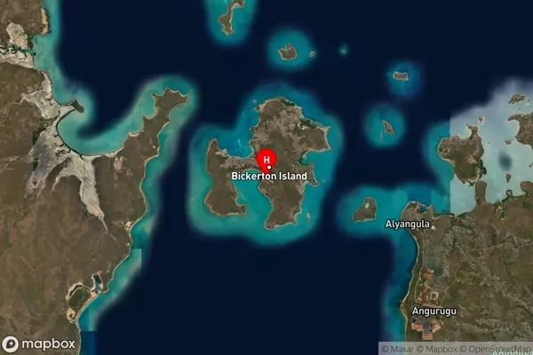
about 18.83 meters height above sea level (Altitude)Milyakburra Suburb Map (Satellite)
Distances
The distance from Milyakburra, Northern Territory - Outback, NT to AU Greater Capital CitiesSA1 Code 2011
70204106201SA1 Code 2016
70204106201SA2 Code
702041062SA3 Code
70204SA4 Code
702RA 2011
5RA 2016
5MMM 2015
7MMM 2019
7Charge Zone
NT1LGA Region
Tiwi IslandsLGA Code
74050Electorate
Solomon