Belyuen Area, Belyuen Postcode(0822) & Map in Belyuen, Northern Territory - Outback, NT
Belyuen Area, Belyuen Postcode(0822) & Map in Belyuen, Northern Territory - Outback, NT, AU, Postcode: 0822
Belyuen, Alligator, Daly - Tiwi - West Arnhem, Northern Territory - Outback, Northern Territory, Australia, 0822
Belyuen Postcode
Area Name
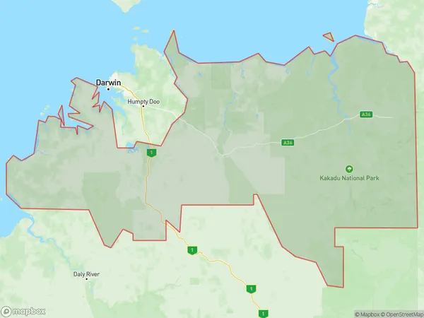
BelyuenBelyuen Suburb Area Map (Polygon)
Belyuen Introduction
Belyuen is a small town in the Northern Territory of Australia, located on the coast of the Timor Sea. It is known for its beautiful beaches, fishing, and wildlife. The town has a population of around 1,000 people and is a popular destination for tourists.State Name
City or Big Region
District or Regional Area
Suburb Name
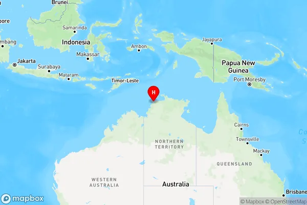
Belyuen Region Map
Country
Main Region in AU
R1Coordinates
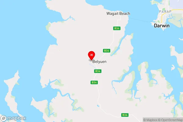
-12.5382,130.683 (latitude/longitude)Belyuen Area Map (Street)
Longitude
130.6254299Latitude
-11.75841975Belyuen Elevation
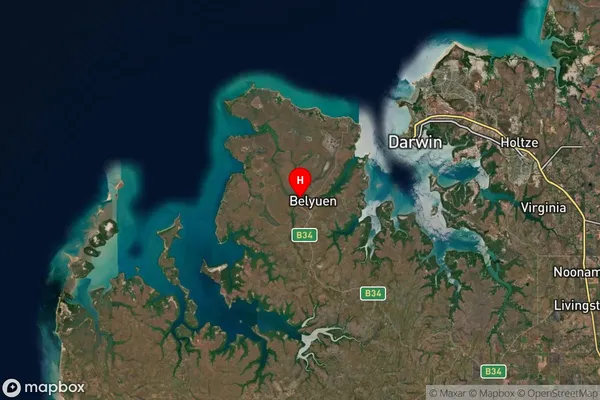
about 26.95 meters height above sea level (Altitude)Belyuen Suburb Map (Satellite)
Distances
The distance from Belyuen, Northern Territory - Outback, NT to AU Greater Capital CitiesSA1 Code 2011
70203105702SA1 Code 2016
70203105702SA2 Code
702031057SA3 Code
70203SA4 Code
702RA 2011
4RA 2016
4MMM 2015
6MMM 2019
6Charge Zone
NT1LGA Region
Tiwi IslandsLGA Code
74050Electorate
Solomon