Bathurst Island Area, Bathurst Island Postcode(0822) & Map in Bathurst Island, Northern Territory - Outback, NT
Bathurst Island Area, Bathurst Island Postcode(0822) & Map in Bathurst Island, Northern Territory - Outback, NT, AU, Postcode: 0822
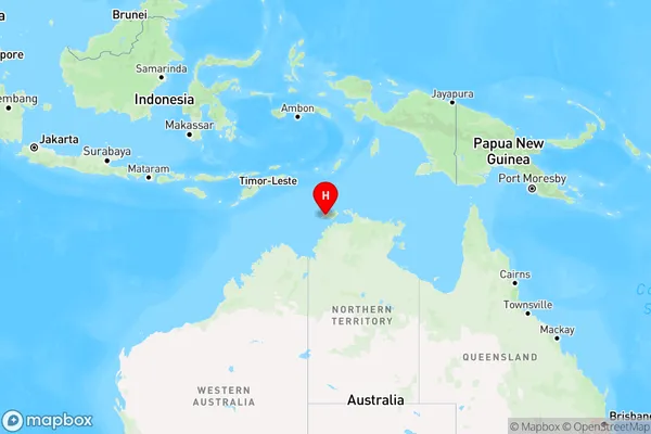
Bathurst Island, Tiwi Islands, Daly - Tiwi - West Arnhem, Northern Territory - Outback, Northern Territory, Australia, 0822
Bathurst Island Postcode
Area Name
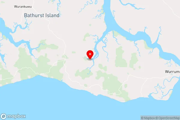
Bathurst IslandBathurst Island Suburb Area Map (Polygon)

Bathurst Island Introduction
Bathurst Island is a remote and sparsely populated island in the Northern Territory of Australia. It is known for its rugged landscapes, rich Indigenous culture, and diverse wildlife, including crocodiles, dingoes, and birdlife. The island is accessible by air or boat and offers a range of outdoor activities, including fishing, hiking, and camping.State Name
City or Big Region
District or Regional Area
Suburb Name
Bathurst Island Region Map
Country
Main Region in AU
R1Coordinates
-11.7365,130.431 (latitude/longitude)Bathurst Island Area Map (Street)
Longitude
130.6254299Latitude
-11.75841975Bathurst Island Elevation
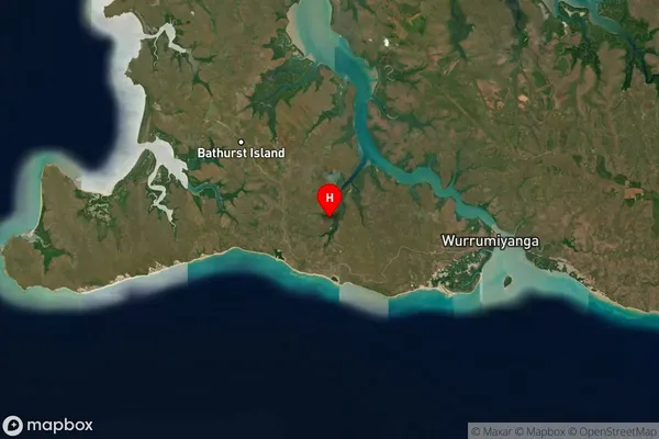
about 15.86 meters height above sea level (Altitude)Bathurst Island Suburb Map (Satellite)
Distances
The distance from Bathurst Island, Northern Territory - Outback, NT to AU Greater Capital CitiesSA1 Code 2011
70203106001SA1 Code 2016
70203106001SA2 Code
702031060SA3 Code
70203SA4 Code
702RA 2011
5RA 2016
5MMM 2015
7MMM 2019
7Charge Zone
NT1LGA Region
Tiwi IslandsLGA Code
74050Electorate
Solomon