Bovell Area, Bovell Postcode(6280) & Map in Bovell, Bunbury, WA
Bovell Area, Bovell Postcode(6280) & Map in Bovell, Bunbury, WA, AU, Postcode: 6280
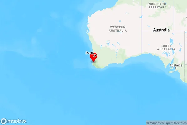
Bovell, Busselton, Augusta - Margaret River - Busselton, Bunbury, Western Australia, Australia, 6280
Bovell Postcode
Area Name
BovellBovell Suburb Area Map (Polygon)

Bovell Introduction
Bovell is a suburb of Bunbury, Western Australia, located 18 kilometers southeast of the city center. It is known for its natural beauty, including the Leschenault Estuary and the Leschenault Inlet. The area is popular for fishing, swimming, and boating, and there are several parks and reserves for outdoor recreation.State Name
City or Big Region
District or Regional Area
Suburb Name
Bovell Region Map
Country
Main Region in AU
R3Coordinates
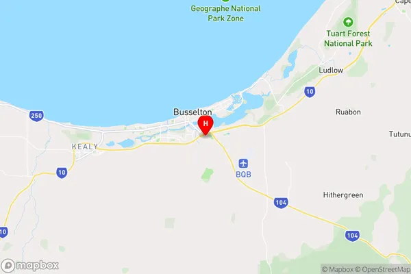
-33.6653198,115.3618834 (latitude/longitude)Bovell Area Map (Street)
Longitude
115.302732Latitude
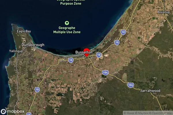
-33.728945Bovell Suburb Map (Satellite)
Distances
The distance from Bovell, Bunbury, WA to AU Greater Capital CitiesSA1 Code 2011
50101100222SA1 Code 2016
50101100222SA2 Code
501011002SA3 Code
50101SA4 Code
501RA 2011
2RA 2016
2MMM 2015
3MMM 2019
3Charge Zone
W2LGA Region
BusseltonLGA Code
51260Electorate
Forrest