Hopetoun Area, Hopetoun Postcode(6348) & Map in Hopetoun, Western Australia - Outback (South), WA
Hopetoun Area, Hopetoun Postcode(6348) & Map in Hopetoun, Western Australia - Outback (South), WA, AU, Postcode: 6348
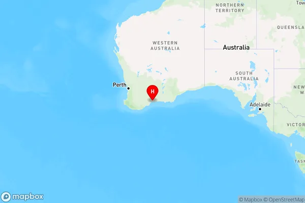
Hopetoun, Esperance Region, Esperance, Western Australia - Outback (South), Western Australia, Australia, 6348
Hopetoun Postcode
Area Name
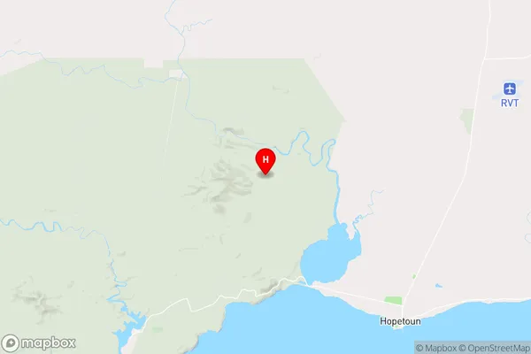
HopetounHopetoun Suburb Area Map (Polygon)

Hopetoun Introduction
Hopetoun is a small town in Western Australia's Outback region, located approximately 250 miles northeast of Perth. It is known for its historic buildings, including the Hopetoun Hotel, which was built in 1894 and is one of the oldest hotels in the state. The town also has a beautiful natural setting, with the Darling Range Mountains to the east and the Great Victoria Desert to the west.State Name
City or Big Region
District or Regional Area
Suburb Name
Hopetoun Region Map

Country
Main Region in AU
R3Coordinates
-33.8539054,120.0202964 (latitude/longitude)Hopetoun Area Map (Street)

Longitude
120.145773Latitude
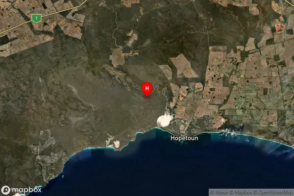
-33.881306Hopetoun Suburb Map (Satellite)

Distances
The distance from Hopetoun, Western Australia - Outback (South), WA to AU Greater Capital CitiesSA1 Code 2011
50801119513SA1 Code 2016
51101127507SA2 Code
511011275SA3 Code
51101SA4 Code
511RA 2011
4RA 2016
4MMM 2015
6MMM 2019
6Charge Zone
W2LGA Region
RavensthorpeLGA Code
57420Electorate
Durack