Benbournie Area, Benbournie Postcode(5453) & Map in Benbournie, Barossa - Yorke - Mid North, SA
Benbournie Area, Benbournie Postcode(5453) & Map in Benbournie, Barossa - Yorke - Mid North, SA, AU, Postcode: 5453
Benbournie, Gilbert Valley, Lower North, Barossa - Yorke - Mid North, South Australia, Australia, 5453
Benbournie Postcode
Area Name
BenbournieBenbournie Suburb Area Map (Polygon)

Benbournie Introduction
Benbournie is a small town in the Barossa - Yorke - Mid North region of South Australia, Australia. It is known for its wine production and has a population of around 1,000 people. The town is located on the banks of the Light River and has a number of wineries and other tourist attractions.State Name
City or Big Region
District or Regional Area
Suburb Name
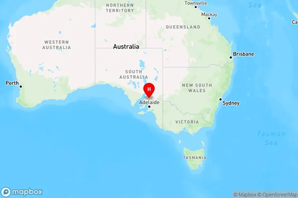
Benbournie Region Map
Country
Main Region in AU
R3Coordinates
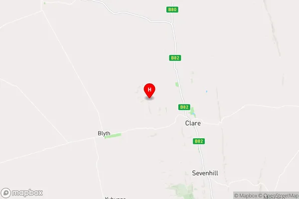
-33.8062987,138.5521802 (latitude/longitude)Benbournie Area Map (Street)
Longitude
138.582681Latitude
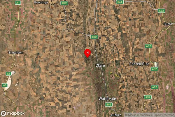
-33.802932Benbournie Suburb Map (Satellite)
Distances
The distance from Benbournie, Barossa - Yorke - Mid North, SA to AU Greater Capital CitiesSA1 Code 2011
40502111701SA1 Code 2016
40502111701SA2 Code
405021117SA3 Code
40502SA4 Code
405RA 2011
3RA 2016
3MMM 2015
5MMM 2019
5Charge Zone
S2LGA Region
Clare and Gilbert ValleysLGA Code
41140Electorate
Grey