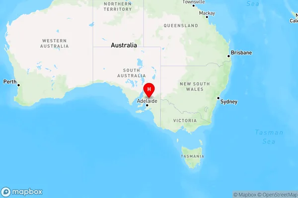
Tothill Belt Area, Tothill Belt Postcode(5413) & Map in Tothill Belt, Barossa - Yorke - Mid North, SA
Tothill Belt Area, Tothill Belt Postcode(5413) & Map in Tothill Belt, Barossa - Yorke - Mid North, SA, AU, Postcode: 5413
Tothill Belt, Gilbert Valley, Lower North, Barossa - Yorke - Mid North, South Australia, Australia, 5413
Tothill Belt Postcode
Area Name
Tothill BeltTothill Belt Suburb Area Map (Polygon)

State Name
City or Big Region
District or Regional Area
Suburb Name
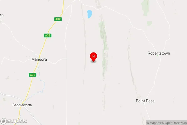
Tothill Belt Region Map

Country
Main Region in AU
R3Coordinates
-34.0063907,138.9372064 (latitude/longitude)Tothill Belt Area Map (Street)

Longitude
138.883459Latitude
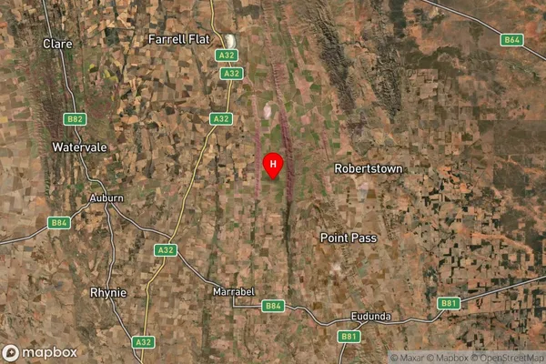
-34.080278Tothill Belt Suburb Map (Satellite)

Distances
The distance from Tothill Belt, Barossa - Yorke - Mid North, SA to AU Greater Capital CitiesSA1 Code 2011
40502111706SA1 Code 2016
40502111706SA2 Code
405021117SA3 Code
40502SA4 Code
405RA 2011
3RA 2016
3MMM 2015
5MMM 2019
5Charge Zone
S2LGA Region
Clare and Gilbert ValleysLGA Code
41140Electorate
Grey