Nelshaby Area, Nelshaby Postcode(5540) & Map in Nelshaby, Barossa - Yorke - Mid North, SA
Nelshaby Area, Nelshaby Postcode(5540) & Map in Nelshaby, Barossa - Yorke - Mid North, SA, AU, Postcode: 5540
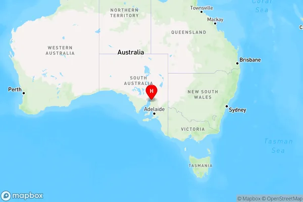
Nelshaby, Port Pirie Region, Mid North, Barossa - Yorke - Mid North, South Australia, Australia, 5540
Nelshaby Postcode
Area Name
NelshabyNelshaby Suburb Area Map (Polygon)

Nelshaby Introduction
Nelshaby is a small town in the Barossa - Yorke - Mid North region of South Australia, Australia. It is known for its wine production and has a population of around 1,000 people. The town is located on the banks of the River Torrens and is surrounded by rolling hills and vineyards.State Name
City or Big Region
District or Regional Area
Suburb Name
Nelshaby Region Map
Country
Main Region in AU
R3Coordinates
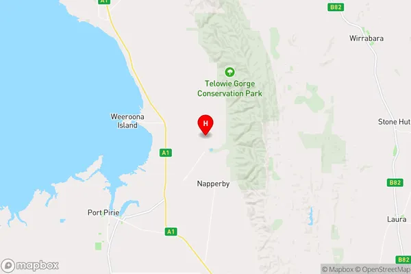
-33.1157023,138.1082683 (latitude/longitude)Nelshaby Area Map (Street)
Longitude
138.080191Latitude
-33.205773Nelshaby Elevation
about 15.20 meters height above sea level (Altitude)Nelshaby Suburb Map (Satellite)

Distances
The distance from Nelshaby, Barossa - Yorke - Mid North, SA to AU Greater Capital CitiesSA1 Code 2011
40503112310SA1 Code 2016
40503112310SA2 Code
405031123SA3 Code
40503SA4 Code
405RA 2011
3RA 2016
3MMM 2015
5MMM 2019
5Charge Zone
S2LGA Region
Port PirieLGA Code
46450Electorate
Grey