Georgetown Area, Georgetown Postcode(5472) & Map in Georgetown, Barossa - Yorke - Mid North, SA
Georgetown Area, Georgetown Postcode(5472) & Map in Georgetown, Barossa - Yorke - Mid North, SA, AU, Postcode: 5472
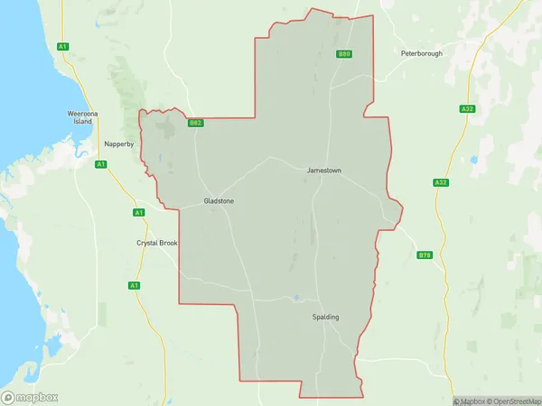
Georgetown, Jamestown, Mid North, Barossa - Yorke - Mid North, South Australia, Australia, 5472
Georgetown Postcode
Area Name
GeorgetownGeorgetown Suburb Area Map (Polygon)
Georgetown Introduction
Georgetown is a town in the Barossa - Yorke - Mid North region of South Australia, Australia. It is known for its wine production and is home to several wineries. The town has a population of approximately 1,500 people and is located about 70 kilometers north of Adelaide.State Name
City or Big Region
District or Regional Area
Suburb Name
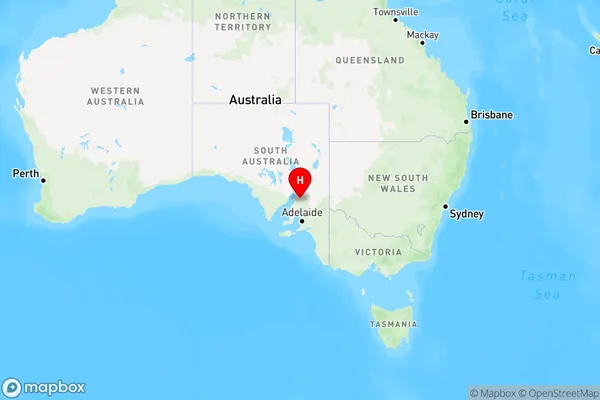
Georgetown Region Map
Country
Main Region in AU
R3Coordinates
-33.3859808,138.4187846 (latitude/longitude)Georgetown Area Map (Street)
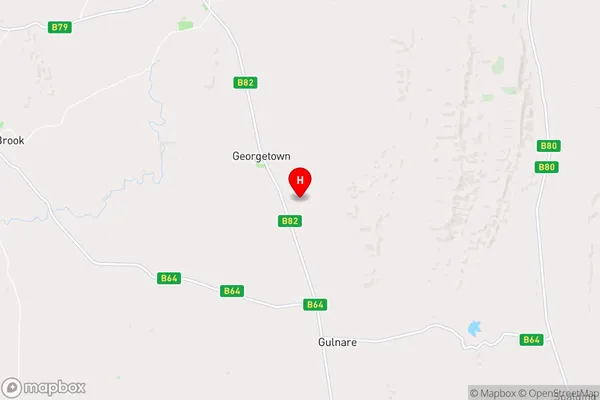
Longitude
138.410287Latitude
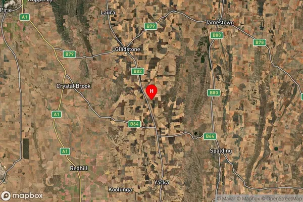
-33.387234Georgetown Suburb Map (Satellite)
Distances
The distance from Georgetown, Barossa - Yorke - Mid North, SA to AU Greater Capital CitiesSA1 Code 2011
40503112015SA1 Code 2016
40503112015SA2 Code
405031120SA3 Code
40503SA4 Code
405RA 2011
3RA 2016
3MMM 2015
5MMM 2019
5Charge Zone
S2LGA Region
Northern AreasLGA Code
45120Electorate
Grey