Cape Arid Area, Cape Arid Postcode(6452) & Map in Cape Arid, Western Australia - Outback (South), WA
Cape Arid Area, Cape Arid Postcode(6452) & Map in Cape Arid, Western Australia - Outback (South), WA, AU, Postcode: 6452
Cape Arid, Esperance Region, Esperance, Western Australia - Outback (South), Western Australia, Australia, 6452
Cape Arid Postcode
Area Name
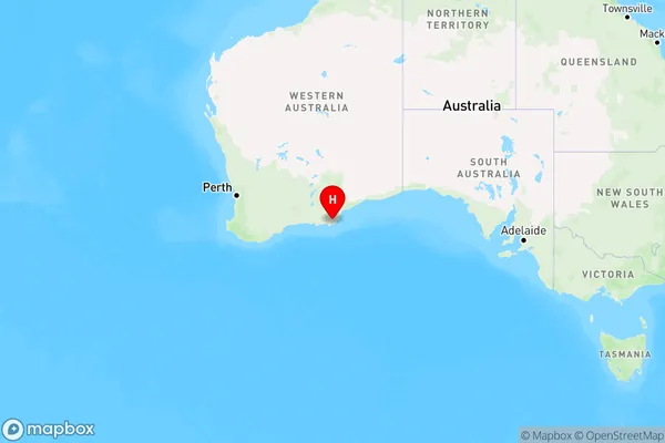
Cape AridCape Arid Suburb Area Map (Polygon)

Cape Arid Introduction
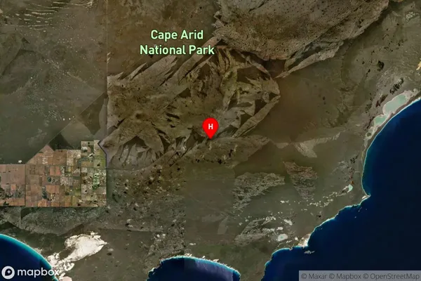
Cape Arid National Park is a protected area in Western Australia known for its rugged coastline, diverse wildlife, and stunning sunsets. It is located approximately 250 kilometers southeast of Perth and covers an area of 124,699 hectares. The park is home to a variety of plant and animal species, including kangaroos, wallabies, emus, and dolphins. Visitors can explore the park's many hiking trails, beaches, and rock formations, and enjoy camping, fishing, and snorkeling.State Name
City or Big Region
District or Regional Area
Suburb Name
Cape Arid Region Map

Country
Main Region in AU
R3Coordinates
-33.7049081,123.4499743 (latitude/longitude)Cape Arid Area Map (Street)

Longitude
122.895Latitude
-32.91833Cape Arid Suburb Map (Satellite)

Distances
The distance from Cape Arid, Western Australia - Outback (South), WA to AU Greater Capital CitiesSA1 Code 2011
50801119515SA1 Code 2016
51101127501SA2 Code
511011275SA3 Code
51101SA4 Code
511RA 2011
5RA 2016
5MMM 2015
7MMM 2019
7Charge Zone
W2LGA Region
EsperanceLGA Code
53290Electorate
Durack