Peak Hill Area, Peak Hill Postcode(6642) & Map in Peak Hill, Western Australia - Outback (South), WA
Peak Hill Area, Peak Hill Postcode(6642) & Map in Peak Hill, Western Australia - Outback (South), WA, AU, Postcode: 6642
Peak Hill, Meekatharra, Mid West, Western Australia - Outback (South), Western Australia, Australia, 6642
Peak Hill Postcode
Area Name
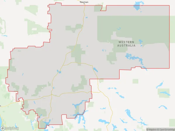
Peak HillPeak Hill Suburb Area Map (Polygon)

Peak Hill Introduction
Peak Hill is a small town in Western Australia's Outback (South) region, located 200 kilometers east of Kalgoorlie. It is known for its rich history, including the Peak Hill Gold Rush in the 1890s. The town has a population of around 1,000 people and offers a range of services and amenities, including a hotel, a general store, and a school.State Name
City or Big Region
District or Regional Area
Suburb Name
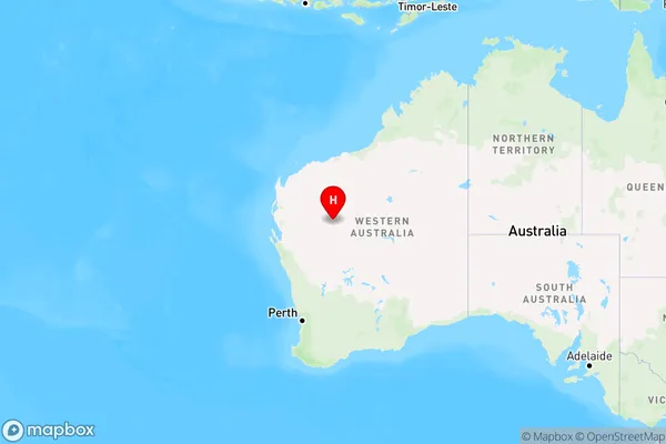
Peak Hill Region Map

Country
Main Region in AU
R3Coordinates
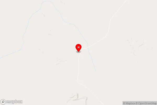
-25.0940134,118.2984611 (latitude/longitude)Peak Hill Area Map (Street)

Longitude
118.554936Latitude
-25.639378Peak Hill Elevation
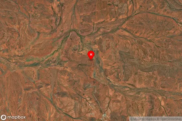
about 549.86 meters height above sea level (Altitude)Peak Hill Suburb Map (Satellite)

Distances
The distance from Peak Hill, Western Australia - Outback (South), WA to AU Greater Capital CitiesSA1 Code 2011
50805121511SA1 Code 2016
51104129009SA2 Code
511041290SA3 Code
51104SA4 Code
511RA 2011
5RA 2016
5MMM 2015
7MMM 2019
7Charge Zone
W2LGA Region
MeekatharraLGA Code
55250Electorate
Durack